Venturing Crew 87 from Roswell, Georgia, paddled from the Sommers Canoe Base near Ely, MN, to Lerome Lake east of Atikokan, ON, July 1 - 9, 2014. Co-ed crew with 3 girls, 2 boys, and 4 adults, including the interpreter from Sommers.
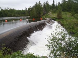
Dam between Sucker and Basswood
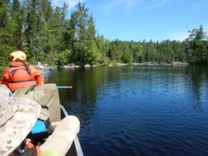
7/1/2014, 48.05004/-91.43721
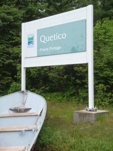
Prairie Portage Sign
7/1/2014, 48.05004/-91.43721
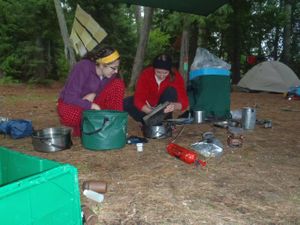
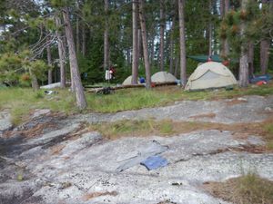
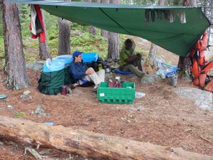
Sunday Island - Drying Out
7/1/2014, 48.08002/-91.46204
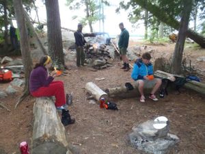
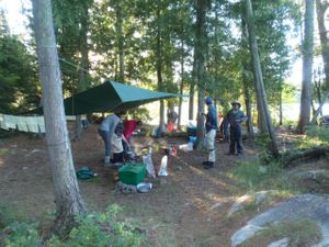
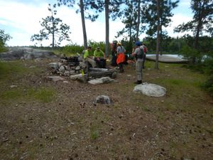
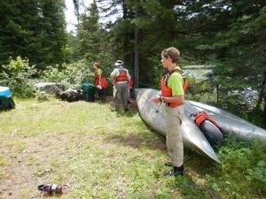
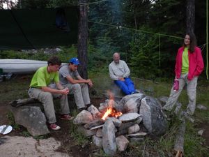
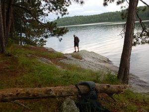
Sunday Island - KP
7/1/2014, 48.08002/-91.46204
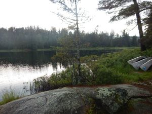
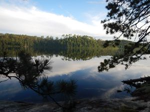
Sunday Island - Morning
7/2/2014, 48.08002/-91.46204
Yum Yum 12H
7/2/2014, 48.20702/-91.47597
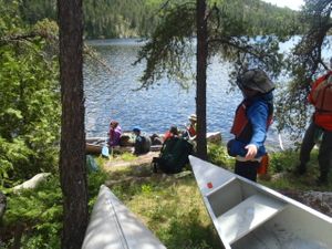
View of the take out
7/3/2014, 48.27899/-91.46156
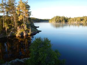
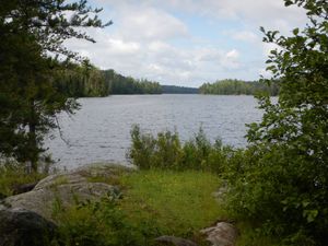
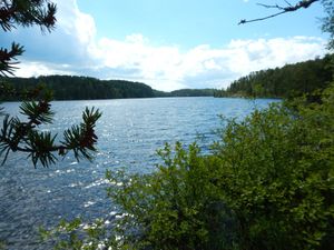
View South from 1CS
7/3/2014, 48.385/-91.38232
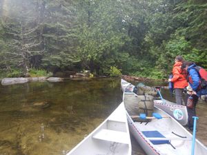
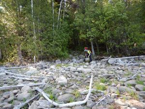
Approaching Portage from the East
7/4/2014, 48.45188/-91.34263
Lunch stop on Keats Lake
7/4/2014, 48.45203/-91.3865
14T Take out on lower Twin Lake
7/5/2014, 48.57626/-91.46029
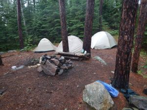
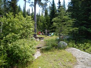
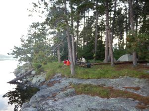
Campsite at 14T
7/5/2014, 48.57626/-91.46029
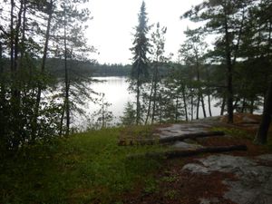
View south from 14T
7/5/2014, 48.57626/-91.46029
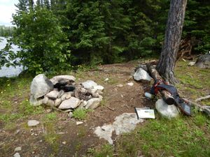
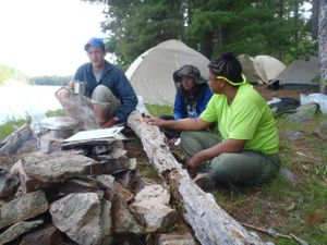
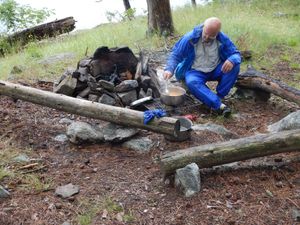
11Z - fire pit
7/6/2014, 48.62498/-91.47948
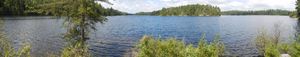
11Z - panorama view to the west
7/6/2014, 48.62498/-91.47948
11Z - sunny & flat
7/6/2014, 48.62498/-91.47948
11Z - view to the west
7/6/2014, 48.62498/-91.47948
11Z looking east
7/6/2014, 48.62498/-91.47948
11Z near the take out
7/6/2014, 48.62498/-91.47948
Dore' Lake end of the Deux Rivieres Portage
7/6/2014, 48.5868/-91.45646
Fire pit at Site U9
7/6/2014, 48.62944/-91.54913
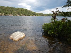
South shore, Batchewaung Bay
7/6/2014, 48.62944/-91.54913
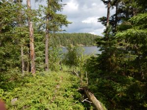
View toward SE end of Batchewaung Bay
7/6/2014, 48.62944/-91.54913
Woods & water near U9
7/6/2014, 48.62944/-91.54913
Campsite CM
7/7/2014, 48.62878/-91.75902
Campsite CM - Lake view
7/7/2014, 48.62878/-91.75902
Campsite CM - Take out
7/7/2014, 48.62878/-91.75902
Campsite CM fire pit
7/7/2014, 48.62878/-91.75902
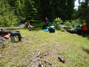
Campsite CM kitchen
7/7/2014, 48.62878/-91.75902
Campsite CM looking west
7/7/2014, 48.62878/-91.75902
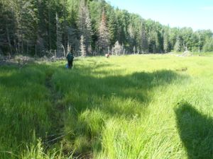
Crossing a meadow enroute to McAlpine Lake from the East
7/7/2014, 48.62751/-91.59426
Entering McAlpine Lake from the East
7/7/2014, 48.62795/-91.59611


