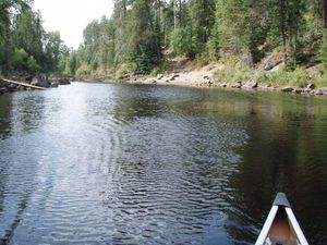
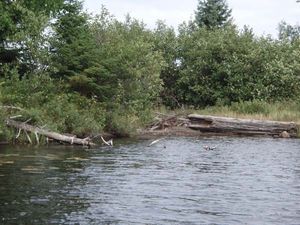
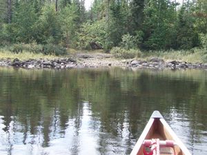
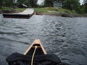
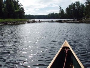
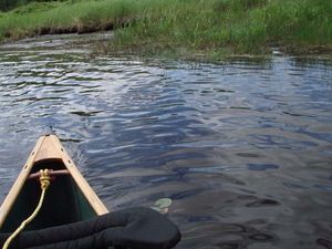
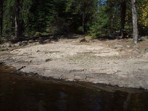
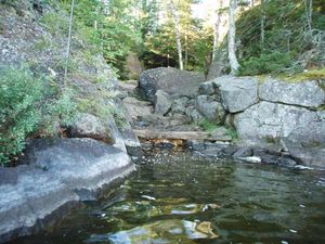
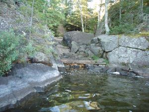
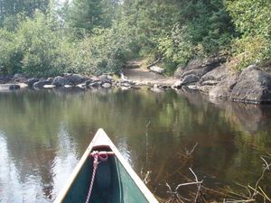
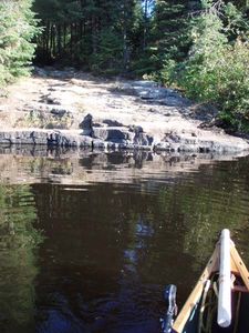
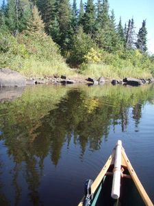
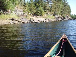
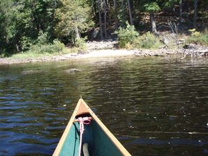
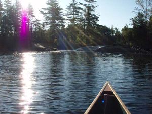
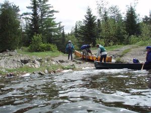
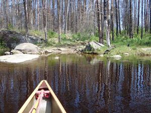
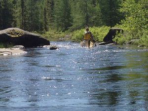
Eddy - Jenny
48.09164/-91.10743
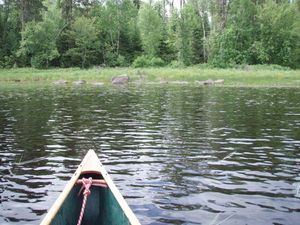
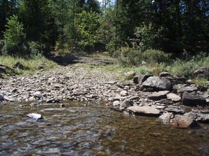
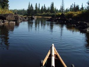
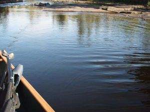
Four Pond - Hudson Pond
9/12/2009, 47.89855/-91.38126
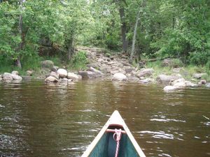
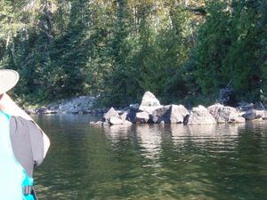
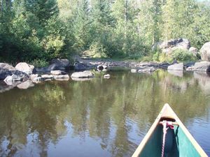
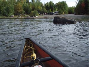
Four Pond - Lake Four
9/12/2009, 47.90101/-91.38684
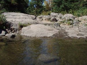
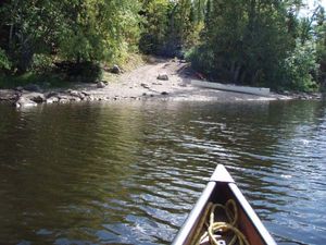
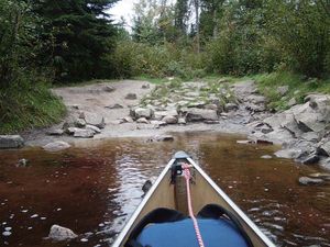
Hudson - Insula (low water)
9/12/2009, 47.89887/-91.3372
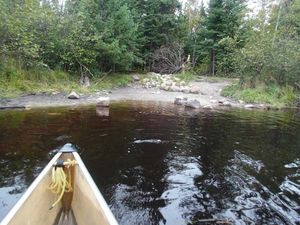
Insula - Hudson (approach)
9/12/2009, 47.89999/-91.33171
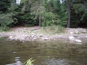
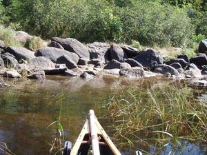
Lake Four - Lake Four Pond
9/12/2009, 47.901/-91.38687
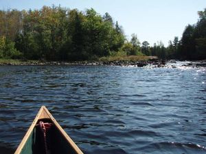
Hatchet - Ima
9/14/2009, 48.0127/-91.25862
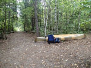
Thomas pond - Hatchet Cr (line through)
9/14/2009, 48.00638/-91.25984
Adventure-Cattyman
9/16/2009, 48.01123/-91.31745
Adventure-Jitterbug 1
9/16/2009, 48.00651/-91.32263
Ahsub-Disappointment
9/16/2009, 48.00089/-91.34665
Ahsub-Jitterbug
9/16/2009, 48.00371/-91.33519
Cattyman - Adventure (approach)
9/16/2009, 48.01148/-91.31765
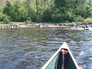
Cattyman - Jordan (low water)
9/16/2009, 48.01284/-91.31586
Disappointment - Ahsub (approach)
9/16/2009, 47.99998/-91.34742
Ima - Jordan
9/16/2009, 48.01578/-91.29352
Little Indian Sioux R - 65rN
6/7/2010, 48.16966/-92.22452
Little Indian Sioux R - 65rS
6/7/2010, 48.1678/-92.22164
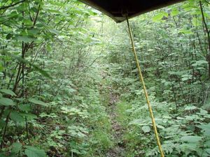
Little Indian Sioux R - end of entry portage
6/7/2010, 48.14861/-92.20988
Lower Pauness - Loon
6/7/2010, 48.20659/-92.2507
Lac La Croix-Loon
6/9/2010, 48.27829/-92.29521
Loon-Lac La Croix
6/9/2010, 48.27684/-92.29406
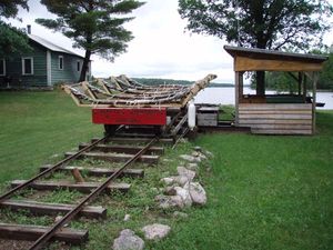
Loon-Lac La Croix Tram
6/9/2010, 48.27778/-92.29503
Lac La Croix - 5rE
6/10/2010, 48.34493/-92.22506
Lac La Croix - 5rW
6/10/2010, 48.34507/-92.22535
Lac La Croix - Snow Bay
6/10/2010, 48.34222/-92.25885
Snow Bay - LLC
6/10/2010, 48.34159/-92.2611
Snow Bay - LLC trail
6/10/2010, 48.3421/-92.26001
Agnes-Boulder River
6/14/2010, 48.23241/-92.0312
Boulder R - Agnes 100r
6/14/2010, 48.21901/-92.03462
Boulder R - Agnes 26r
6/14/2010, 48.23316/-92.0317
Disappointment - Snowbank & Parent
8/31/2010, 47.97217/-91.38168
Adventure-Jitterbug 2
9/1/2010, 48.00651/-91.32265
Cattyman - Adventure (landing)
9/1/2010, 48.01148/-91.31765
Disappointment - Ahsub (landing)
9/1/2010, 48/-91.34741
Jordan - Ima
9/1/2010, 48.01579/-91.29408
Ima L. end of Ima-Hatchet portage
9/4/2010, 48.01313/-91.26127
Ima - Hatchet
9/5/2010, 48.01315/-91.26126
Insula - Kiana (low water)
9/5/2010, 47.94924/-91.26343
Drumstick - Fire
9/6/2010, 47.91694/-91.384
Drumstick - Four
9/6/2010, 47.91546/-91.38472
Fire - Drumstick
9/6/2010, 47.9172/-91.38389
Fire - Hudson
9/6/2010, 47.92046/-91.36615
Four - Drumstick
9/6/2010, 47.91428/-91.38498
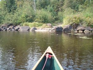
Hudson Lake - Hudson pond
9/6/2010, 47.89569/-91.37614
S Kawish 30rE
9/8/2010, 47.92166/-91.5309
S Kawish R 30rW
9/8/2010, 47.92232/-91.53238
S Kawish R 5rE approach - low water
9/8/2010, 47.9235/-91.53375
S Kawish R 5rE landing - low water
9/8/2010, 47.92347/-91.53373
S Kawish R 5rW approach - low water
9/8/2010, 47.9235/-91.53373
S Kawish R 5rW landing - low water
9/8/2010, 47.92359/-91.53382
S Kawish - Lake One
9/9/2010, 47.93135/-91.48777
Isabella R - 1st port downstream from Rice Lake - east end
9/7/2011, 47.80307/-91.41758
Isabella R - 1st port downstream from Rice Lake - west end
9/7/2011, 47.80301/-91.41749
Isabella R - 2nd port downstream from Rice Lake - east end
9/7/2011, 47.80301/-91.42127
Isabella R - 2nd port downstream from Rice Lake - paddling through
9/7/2011, 47.80301/-91.4211
Isabella R - 2nd port downstream from Rice Lake - west end
9/7/2011, 47.80301/-91.42118
Isabella R - Quadga
9/7/2011, 47.80953/-91.43279
Isabella R near Rice Lake - east end
9/7/2011, 47.80664/-91.36479
Isabella R near Rice Lake - west end
9/7/2011, 47.8082/-91.36831
Island R 13rE
9/7/2011, 47.79752/-91.34404
Island R 13rW
9/7/2011, 47.79785/-91.34452
Island R 3rE through
9/7/2011, 47.7991/-91.3475
Island R 3rW through
9/7/2011, 47.79937/-91.34756
Quadga - Isabella R
9/7/2011, 47.80871/-91.43606
1st portage west of Quadga Lake - east end
9/9/2011, 47.80468/-91.45646
1st portage west of Quadga Lake - west end
9/9/2011, 47.80605/-91.45781
2nd portage west of Quadga Lake - paddle through - east end
9/9/2011, 47.80849/-91.46839
2nd portage west of Quadga Lake - paddle through - west end
9/9/2011, 47.80843/-91.46848
2nd portage west of Quadga Lake - paddling through
9/9/2011, 47.8086/-91.46831
Last portage on Isabella R - east end
9/9/2011, 47.79942/-91.51302
Last portage on Isabella R - west end
9/9/2011, 47.79945/-91.52218
Gabbro - Kawishiwi R 120r
9/11/2011, 47.86305/-91.61827
S Kawish north 15r portage - paddle through - north end
9/11/2011, 47.90831/-91.56378
S Kawish north 15r portage - paddle through - south end
9/11/2011, 47.90792/-91.56445
S Kawish R - 30r - east end
9/11/2011, 47.87813/-91.60771

S Kawish south 15r poartage - paddling through
9/11/2011, 47.8853/-91.59205
S Kawish south 15r portage - south end - paddle through
9/11/2011, 47.88479/-91.59216
SKawish - Gabbro
9/11/2011, 47.868/-91.61649
SKawish 30r near Gabbro west end
9/11/2011, 47.87871/-91.60874
SKawish 30r near Gabbro west end landing
9/11/2011, 47.87871/-91.60874
S Kawish 5r - east end - high water
9/13/2011, 47.92336/-91.53367
S Kawish 5r portage - west end - high water
9/13/2011, 47.92362/-91.53384
Fall Lake (EP24) landing
9/19/2011, 47.95254/-91.72103
Jackfish Bay - Pipestone Bay
9/19/2011, 48.04908/-91.70524
Birch-Carp
5/21/2012, 48.07074/-91.35321
Carp - Birch (landing)
5/21/2012, 48.0716/-91.35025
Ashigan-Ensign
5/25/2012, 48.02986/-91.31686
Birch-Sucker
5/25/2012, 48.06348/-91.36655
Birch-Sucker
5/25/2012, 48.04707/-91.40953
Carp - Birch approach
5/25/2012, 48.07163/-91.35033
Ensign - Trident
5/25/2012, 48.04745/-91.34728
Frog - Birch
5/25/2012, 48.0606/-91.36378
Frog - Trident
5/25/2012, 48.05661/-91.36211
Gull - SeaGull
9/12/2012, 48.1562/-90.89843
Gull - SeaGull trail
9/12/2012, 48.15568/-90.89812
Alpine-Red Rock
9/13/2012, 48.14553/-90.98971
Alpine-Seagull 35r
9/13/2012, 48.13115/-90.97199
Alpine-Seagull 35r rock garden
9/13/2012, 48.13117/-90.97203
Sag - Seagull R 40rN
9/16/2012, 48.19417/-90.88519
Moose R 20r thru S
9/18/2012, 48.13424/-92.09122
SeaGull Lake (EP54) north landing
5/25/2013, 48.1608/-90.89479
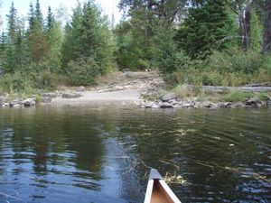
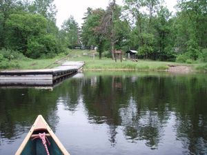
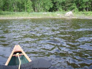
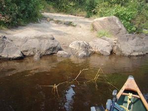
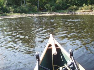
Annie-Jenny
5/28/2013, 48.08391/-91.10174
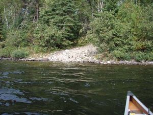
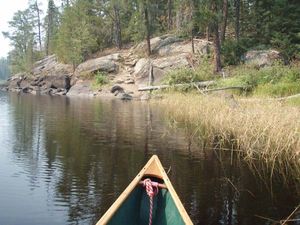
Annie-Ogishkemuncie
5/28/2013, 48.08293/-91.09334
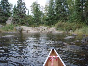
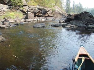
Eddy - S Arm Knife
5/28/2013, 48.09743/-91.12073
Alpine-Jasper
5/29/2013, 48.11747/-91.00016
Alpine-SeaGull 100r
5/29/2013, 48.1291/-90.98128
SeaGull Lake (EP54) south landing
5/29/2013, 48.15726/-90.89393
Moose R 20 S
9/12/2013, 48.13245/-92.09182
Moose R 20r E
9/12/2013, 48.13058/-92.09383
Moose R 20r N
9/12/2013, 48.13427/-92.0913
Moose R 20r W
9/12/2013, 48.13116/-92.09521
Moose R 25r thru N
9/12/2013, 48.13581/-92.09043
Agnes-Boulder Bay
9/16/2013, 48.21861/-92.0353
Moose R - EP16
9/18/2013, 48.13/-92.09796
Moose R 20r E
9/18/2013, 48.13058/-92.09382
Moose R 20r W
9/18/2013, 48.13115/-92.0952
Moose R 25r N
9/18/2013, 48.1359/-92.0905
Moose R 25r S
9/18/2013, 48.13482/-92.09058
Moose R entry (EP16 at parking lot)
9/18/2013, 48.12278/-92.0995
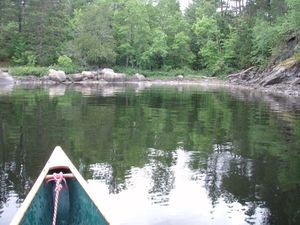
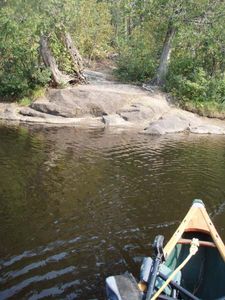
Hudson pond - Hudson Lake
6/10/2014, 47.8957/-91.37615
Hudson pond - Lake Four pond
6/10/2014, 47.89812/-91.37986
Hudson - Insula (high water)
6/11/2014, 47.89888/-91.33716
Insula - Kiana (high water)
6/13/2014, 47.95142/-91.26283
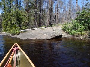
Hatchet Cr rapids
6/16/2014, 48.0059/-91.25628
Thomas pond - Hatchet Cr (paddle through)
6/16/2014, 48.0064/-91.25985
Ashigan-Gibson
6/17/2014, 48.02268/-91.32345
Cattyman - Jordan (high water)
6/17/2014, 48.01279/-91.31557
Ensign - Ashigan
6/17/2014, 48.03092/-91.3169
Gibson - Ashigan
6/17/2014, 48.01853/-91.32395
Gibson - Cattyman
6/17/2014, 48.01611/-91.32211
Ensign - Splash (paddle through)
6/18/2014, 48.03378/-91.40381


