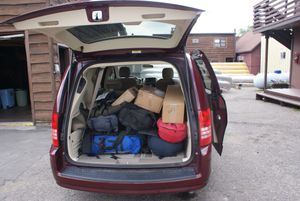
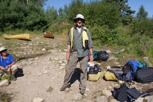
Our gear
8/21/2008, 47.90343/-91.85094
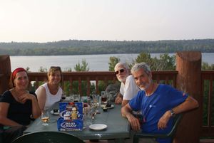
The last supper at the Grand Ely Lodge
8/21/2008, 47.91306/-91.86205
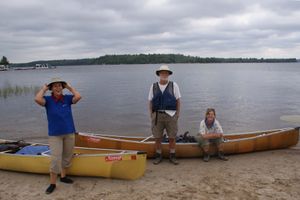
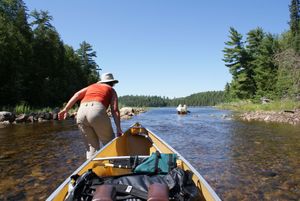
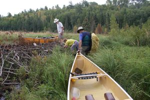
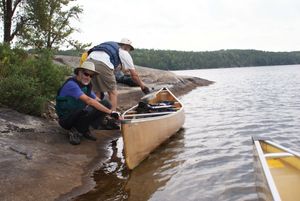
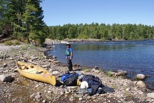
Put in at Crane Lake
8/22/2008, 48.26887/-92.48822
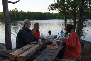
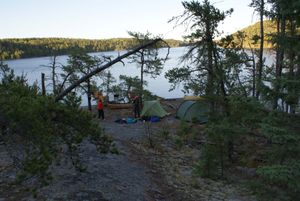
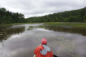
Snow Bay, Campsite 11
8/23/2008, 48.33658/-92.26569
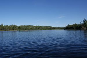
At last, Beaverhouse Lake
8/25/2008, 48.52138/-92.15246
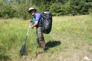
Carrying, Quetico River
8/25/2008
Evening, Beaverhouse Lake
8/25/2008, 48.52235/-92.15843
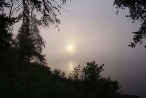
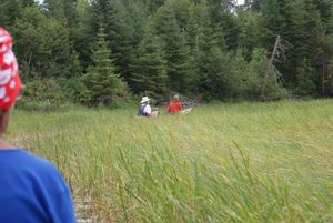
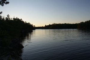
Foggy morning on Threemile Lake
8/25/2008, 48.43649/-92.20705
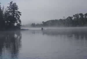
Into the fog, Threemile Lake
8/25/2008, 48.43751/-92.20894
Lining, Quetico River
8/25/2008
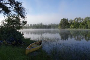
Morning on Threemile Lake
8/25/2008, 48.43638/-92.20722
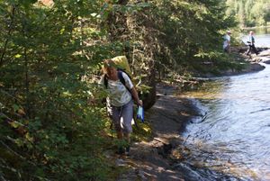
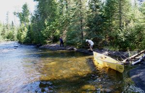
Portaging, Quetico River
8/25/2008
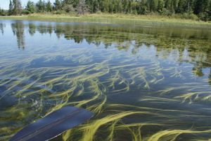
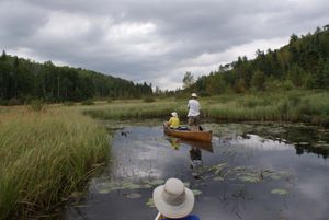
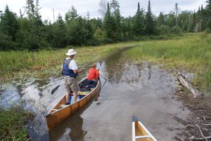
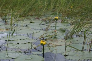
Water grass, Quetico River
8/25/2008, 48.47463/-92.24276
Approaching portage to Cirrus
8/26/2008, 48.5841/-91.94595
Beaverhouse-Quetico Portage east end, National Geographic Photographer on solo trip
8/26/2008, 48.54887/-92.02412
Beaverhouse-Quetico portage, east end
8/26/2008, 48.54886/-92.02415
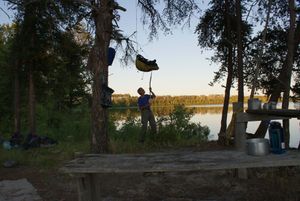
Campsite on south shore of Cirrus
8/26/2008
Magnificent day on Cirrus
8/26/2008
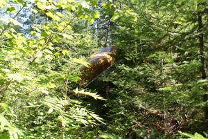
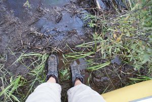
Muddy pants, Quetico-Cirrus portage
8/26/2008, 48.58904/-91.96089
Sparkling morning, Beaverhouse Lake
8/26/2008, 48.5407/-92.11882
"Portaging", McAlpine Creek
8/27/2008, 48.63319/-91.71073
Clouds over Batchewaung
8/27/2008, 48.63036/-91.5604
Finding our way, McAlpine Creek
8/27/2008, 48.63274/-91.71232
Good Stuff, McAlpine Creek
8/27/2008, 48.63342/-91.71035
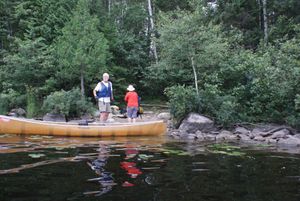
Loading, campsite on south shore of Cirrus
8/27/2008
McAlpine Lake (beaver dammed)
8/27/2008, 48.63773/-91.69018
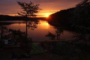
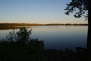
Sunrise from campsite on south shore of Cirrus
8/27/2008
Unloading, Cirrus-Kasakakwog portage
8/27/2008, 48.64527/-91.7918
In the Deux Rivières
8/29/2008, 48.57047/-91.4629
In the Deux Rivières
8/29/2008, 48.57013/-91.46358
In the Deux Rivières
8/29/2008, 48.56991/-91.46376
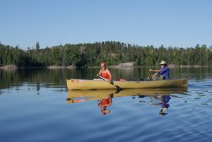
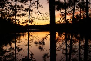
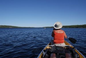
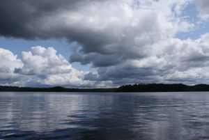
Reflections on Russell Lake
8/30/2008
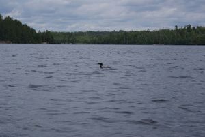
Loon came to say "Goodbye"
9/3/2008, 47.98139/-91.51581
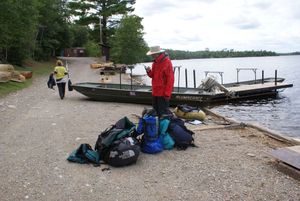
Takeout at the CCO Moose Lake base
9/3/2008, 47.98024/-91.51517
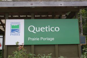
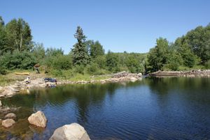
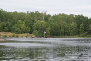
The Canadian. side of Prairie Portage
9/3/2008, 48.05123/-91.43695
The U.S. side of Prairie Portage
9/3/2008, 48.05192/-91.44015
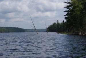
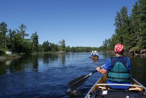
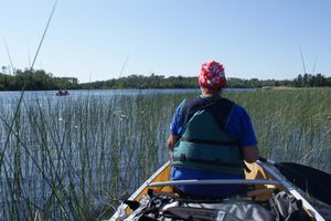
On the Loon River
9/23/2008, 48.23191/-92.34528
At the lower end of Snake Falls portage, Namakan River
9/24/2008, 48.38824/-92.16971

Camp near Bear Island, Threemile Lake
9/24/2008, 48.4364/-92.20688
Camp near Bear Island, Threemile Lake
9/24/2008, 48.43615/-92.20679
Camp near Bear Island, Threemile Lake
9/24/2008, 48.43615/-92.20654
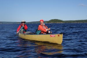
Freddy and Regina on Lac La Croix
9/24/2008, 48.35191/-92.24464
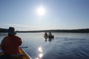
Heading west out of Snow Bay, Lac La Croix
9/24/2008, 48.34216/-92.27829
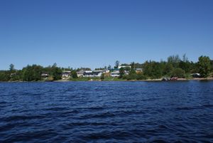
Lac La Croix Village
9/24/2008, 48.37199/-92.16379
Namakan River
9/24/2008, 48.40174/-92.15761
Rapids at the end of the Ivy Falls portage, Namakan River
9/24/2008, 48.41445/-92.1777
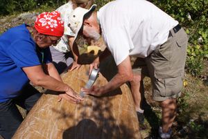
Thank God for Duck Tape
9/24/2008, 48.43609/-92.20679
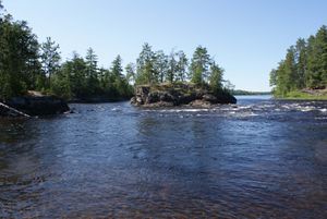
Threemile Lake
9/24/2008, 48.42578/-92.19066
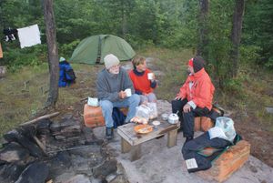
Breakfast, Camp near Bear Island, Threemile Lake
9/25/2008, 48.43621/-92.20671
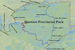
Route Overview
6/11/2020


