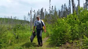
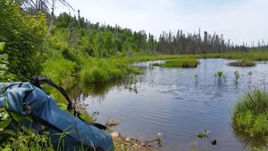
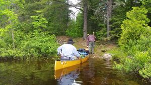
Portage to West Round Lake
48.0689/-90.84526
WWP
48.07446/-90.83723
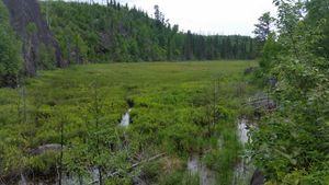
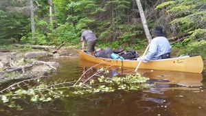
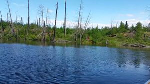
All wet
6/18/2016, 48.07037/-90.84981
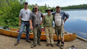
Brandt
6/18/2016, 48.07355/-90.86998
Brandt Lake
6/18/2016, 48.07366/-90.86929
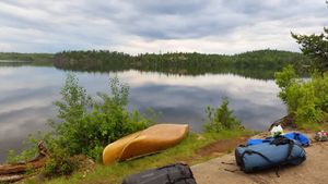
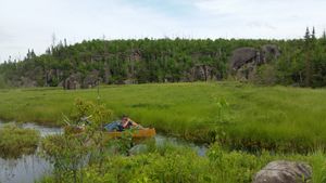
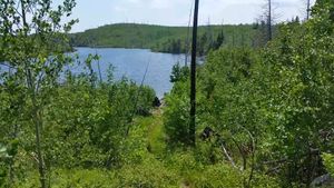
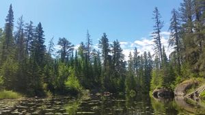
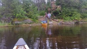
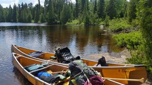
Campsite on Gillis Lake
6/18/2016, 48.06111/-90.923
Edith Lake
6/18/2016, 48.07084/-90.85533
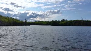
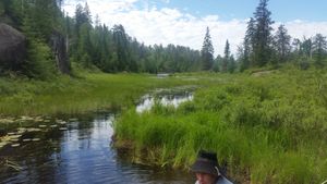
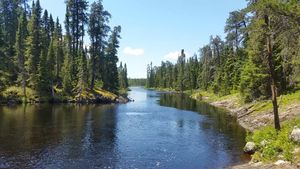
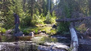
Entering the BWCA
6/18/2016, 48.07066/-90.85745
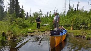
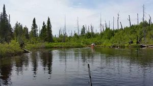
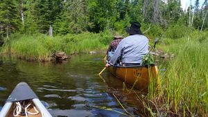
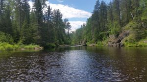
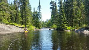
From Brandt to Gotter
6/18/2016, 48.07135/-90.87899
Gillis Lake Campsite
6/18/2016, 48.06111/-90.923
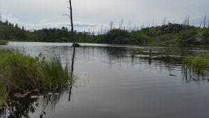
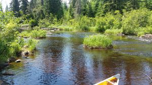
Gotter lake at portage to Flying Lake
6/18/2016, 48.07085/-90.88534
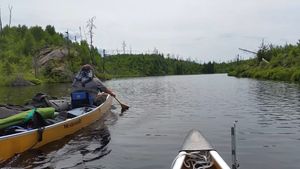
Gotter lake coming out of Brandt
6/18/2016, 48.07131/-90.8814
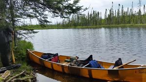
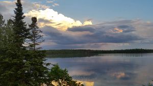
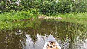
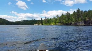
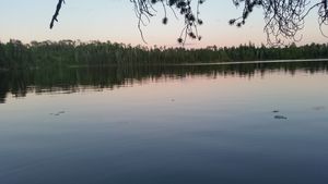
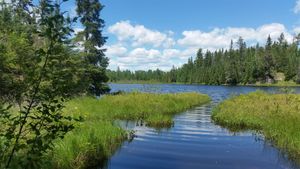
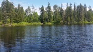
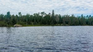
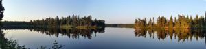
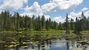
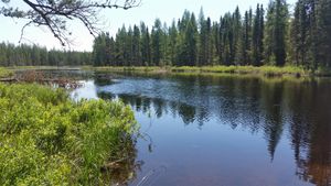
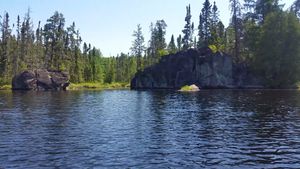
Green Lake , west end
6/18/2016, 48.06925/-90.90208
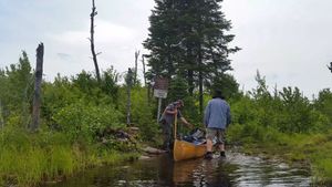
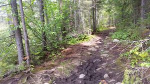
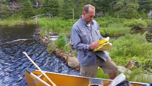
Portage #687
6/18/2016, 48.07137/-90.85243
Portage #687
6/18/2016, 48.07097/-90.85395
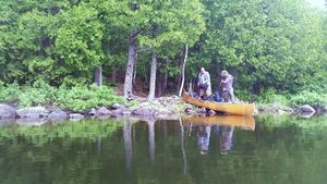
Portage at Gotter to Brandt
6/18/2016, 48.07158/-90.88075
Portage from Brandt to Gotter
6/18/2016, 48.07141/-90.87916
Portage from Flying to Green Lake
6/18/2016, 48.07203/-90.89057
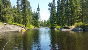
Portage into Bat Lake
6/18/2016, 48.06894/-90.90559
Portage into Braandt from Edith
6/18/2016, 48.07035/-90.85957
Portage into Edith Lake
6/18/2016, 48.07085/-90.8552
Portage into Gillis Lake From Bat Lake
6/18/2016, 48.06235/-90.91721
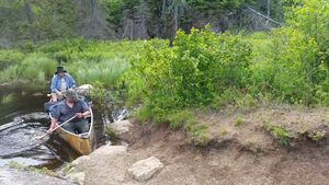
Portage leaving Gotter Lake
6/18/2016, 48.07055/-90.88624
Portage on green lake to Bat Lake
6/18/2016, 48.06894/-90.90559
Portage out of Flying Lake into Green Lake
6/18/2016, 48.06994/-90.8946
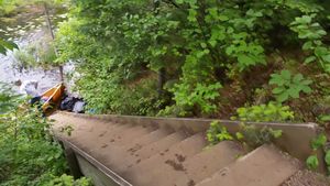
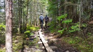
Stairs going into Flying Lake
6/18/2016, 48.07108/-90.88689
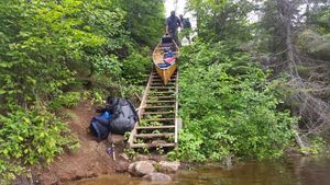
Stairs going into Flying Lake
6/18/2016, 48.07108/-90.88689
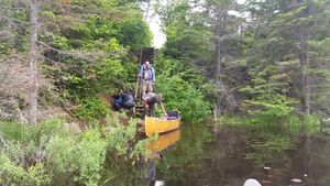
Stairs going into Flying Lake
6/18/2016, 48.07108/-90.88689

Stairs going into Flying Lake
6/18/2016, 48.07108/-90.88689
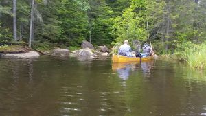
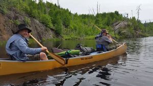
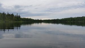
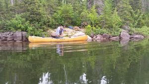
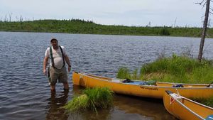
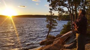
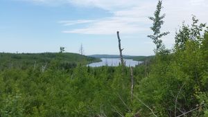
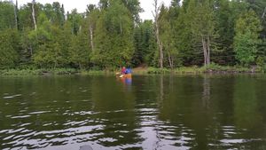
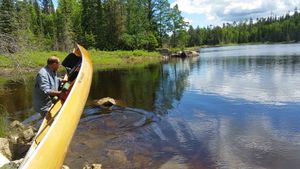
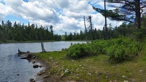
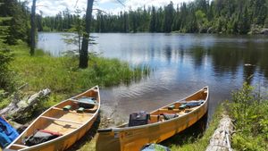
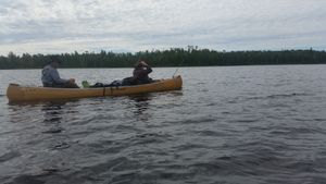
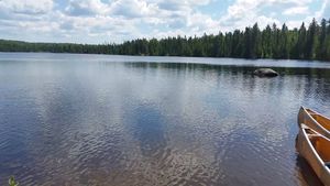
West end of Round Lake
6/18/2016, 48.0689/-90.84526
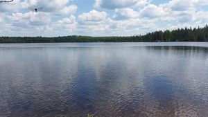
West Round Lake
6/18/2016, 48.07085/-90.85041
West Round lake to Edith lake
6/18/2016, 48.07135/-90.85247
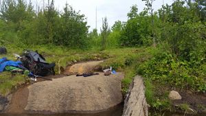
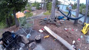
CAMPING
6/19/2016, 48.06273/-91.00885
CAMPING
6/19/2016, 48.06273/-91.00885
cAMPMING
6/19/2016, 48.06273/-91.00885
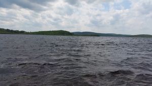
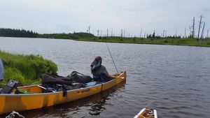
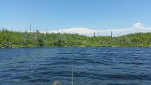
Gabimichigami Lake Getting Wavey
6/19/2016, 48.06644/-91.00568
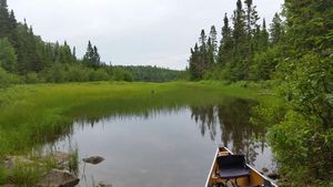
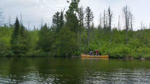
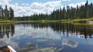
Gillis Lake
6/19/2016, 48.06368/-90.93925
On portage to French Lake
6/19/2016, 48.06758/-90.9559
Peter Lake , West end
6/19/2016, 48.06414/-90.99607
Portage # 376 east end
6/19/2016, 48.06624/-90.9983
Portage at French Lake
6/19/2016, 48.0669/-90.95899

Portage into Peter Lake
6/19/2016, 48.06707/-90.95753
Portage on Gillis Lake to French Lake
6/19/2016, 48.06391/-90.93914
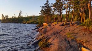
CLiffs and campsite on Makwa
6/21/2016, 48.00451/-91.06576
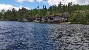
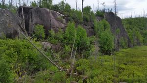
Cliffs on Makwa
6/21/2016, 48.0048/-91.06524
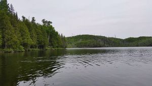
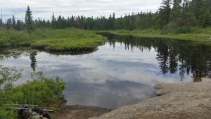
Elton Lake Ponds
6/21/2016, 48.02547/-91.0292
Looking for Poetage #397
6/21/2016, 48.05491/-91.01066
Pan Lake
6/21/2016, 47.99009/-91.07958
Portage #446 out of Little Saganaga Lake
6/21/2016, 48.02514/-91.0246
Portage #486 into Makwa
6/21/2016, 48.01041/-91.04542
Portage at Little Saganaga Lake
6/21/2016, 48.04891/-91.00894
Portage into Elton Lake
6/21/2016, 48.02521/-91.03211
Portage into Elton Lake Ponds
6/21/2016, 48.02544/-91.03124
Portage into Makwa
6/21/2016, 48.00945/-91.04822
Portage out of Makwa #506
6/21/2016, 48.00132/-91.06258
Portage# 108
6/21/2016, 48.02545/-91.03123
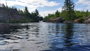
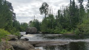
Waterfall near Rattle Lake Portage
6/21/2016, 48.05026/-91.01023
WRONG Portage into Panhandle Lake. TURN BACK
6/21/2016, 47.99096/-91.06971
Anit Lake
6/22/2016, 47.98016/-91.0861

Anit Lake South end
6/22/2016, 47.97978/-91.08632
Kawishiwi River Portage #547
6/22/2016, 47.96596/-91.09511
Kivaniva Lake Portage
6/22/2016, 47.977/-91.08479
Koma Lake Portage on north end
6/22/2016, 47.93969/-91.11262
Pan Lake
6/22/2016, 47.98831/-91.07966
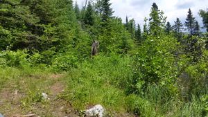
Pan Lake Moose
6/22/2016, 47.98705/-91.08155
Pan Lake Portage #526
6/22/2016, 47.98504/-91.08119
Portage around rapids on Malberg Lake
6/22/2016, 47.9413/-91.11374
Portage into Anit Lake
6/22/2016, 47.98302/-91.08352
16 rod portage around Rapids
6/23/2016, 47.89816/-91.07082
97 rod portage on Phoebe River
6/23/2016, 47.89051/-91.06524
Campsite view on Phoebe
6/23/2016, 47.86137/-91.0146
Hazel lake at Portage
6/23/2016, 47.88527/-91.04885
Hazel Lake dragonfly
6/23/2016, 47.88492/-91.04919
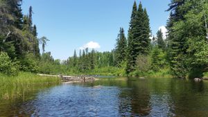
Phoebe River at Potage
6/23/2016, 47.88809/-91.05177
Portage #201 around Rapids, West end
6/23/2016, 47.89689/-91.071
Portage #201 East end
6/23/2016, 47.89833/-91.06979
Portage #627 into Phoebe River
6/23/2016, 47.89586/-91.07941
Portage #638 south end Phoebe River
6/23/2016, 47.88711/-91.06301
Portage at Hazel Lake
6/23/2016, 47.88556/-91.04902
Portage out of Polly to Phoebe River
6/23/2016, 47.9/-91.08662
Rocks on Polly Lake
6/23/2016, 47.906/-91.08498
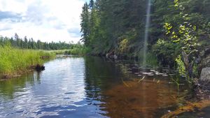
Shallow spots on Phoebe River
6/23/2016, 47.88976/-91.0649


