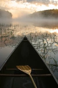
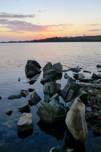
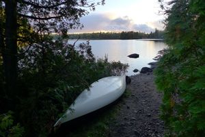
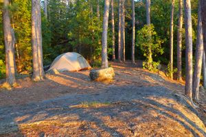
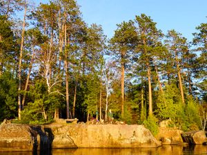
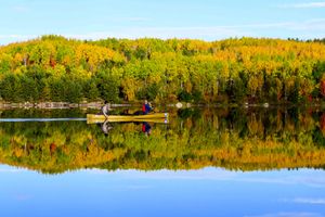
sunrise over bow, south farm lake
8/15/2004, 47.8814/-91.70537
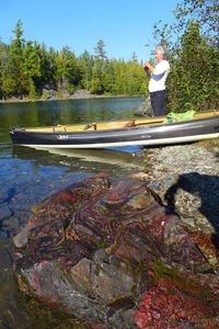
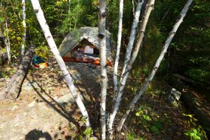
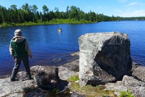
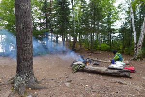
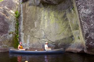
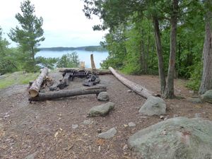
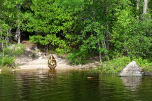
Dorothy's rock/bacon rock
9/26/2013, 48.07419/-91.28483
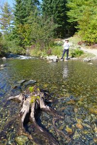
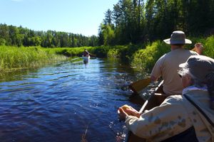
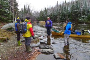
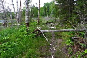
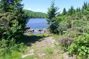
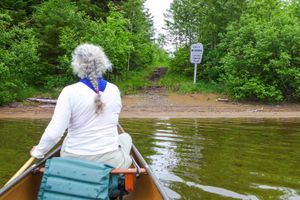
Knife side of portage into knife lake
9/26/2013, 48.07297/-91.30686
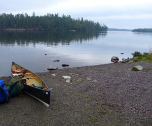
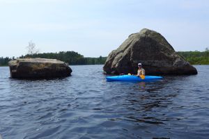
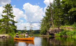
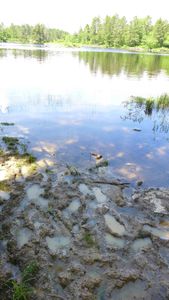
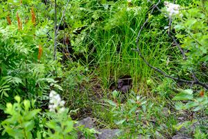
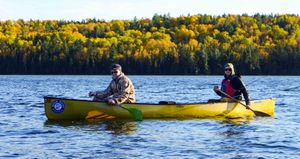
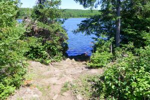
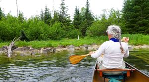
Moose entry
9/26/2013, 47.98673/-91.50094
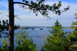
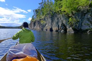
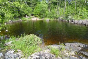
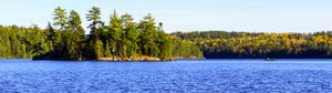
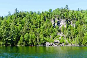
View down knife lake from east point of Robinson island
9/26/2013, 48.07749/-91.27459
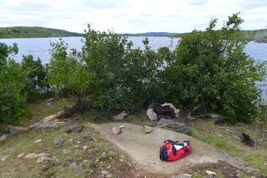
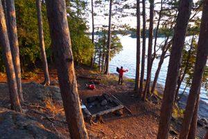
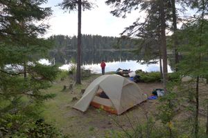
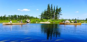
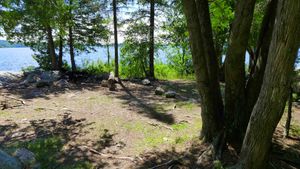
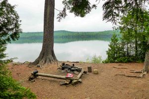
Island camp on kekekabic
9/27/2013, 48.05636/-91.20218
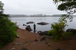
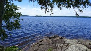
Looking west down knife lake from thunder point
9/27/2013, 48.09464/-91.23102
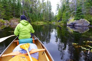
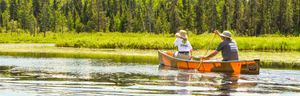
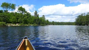
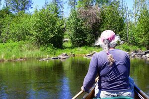
Paddling on kekekabic
9/27/2013, 48.07435/-91.14841
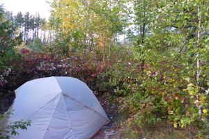
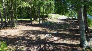
Tent site on kekakabic
9/27/2013, 48.07951/-91.13906
Thunder point view
9/27/2013, 48.09481/-91.23097
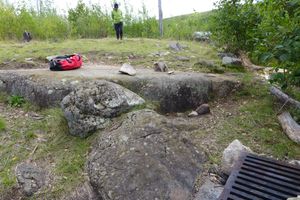
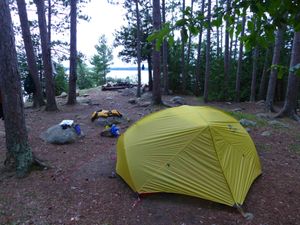
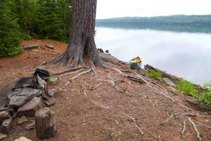
Tent pad on island site, kekakabic
9/28/2013, 48.05636/-91.20218
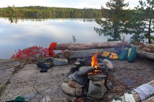
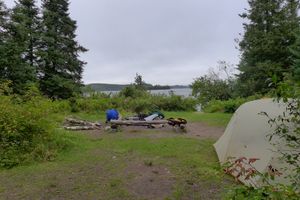
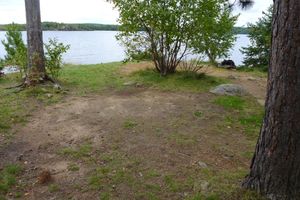
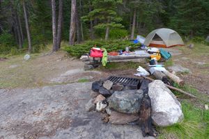
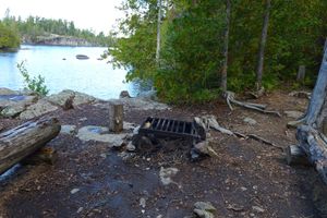
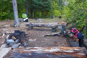
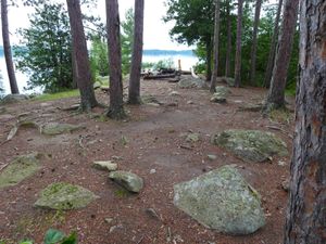
Camp and tent site, Vera lake
9/29/2013, 48.05988/-91.30812
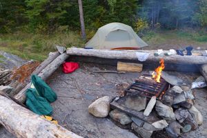
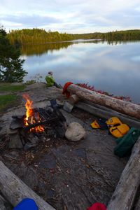
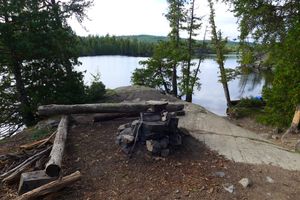
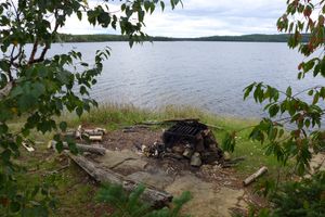
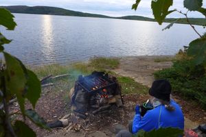
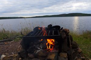
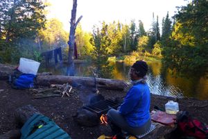
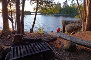
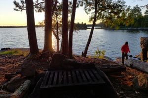
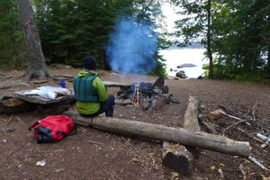
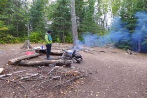
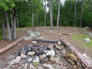
Fire grate and lake, Vera lake
9/29/2013, 48.05988/-91.30812
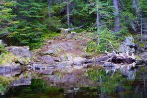
View east, Vera lake
9/29/2013, 48.05988/-91.30812
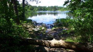
Island in the mouth of the horse river
7/2/2014, 48.07816/-91.75225
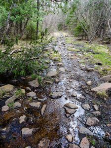
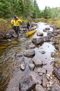
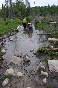
Mudro going down the creek shortly after entrance
7/2/2014, 48.03211/-91.83425
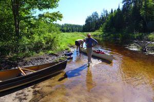
Mudro start
7/2/2014, 48.03211/-91.83425
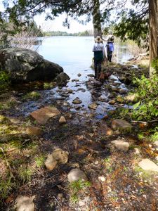
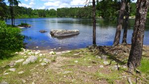
South arm knife lake site looking east
9/9/2014, 48.09453/-91.15354
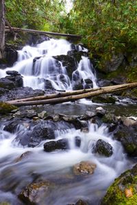
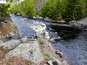
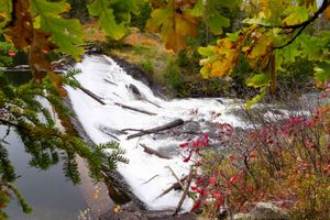
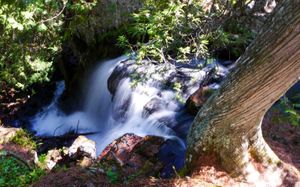
Eddy lake portage falls
9/10/2014, 48.09764/-91.12008
Ogishkemuncie island camp
9/11/2014, 48.08783/-91.06919
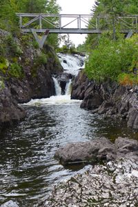
Agamok bridge and falls
9/12/2014, 48.07859/-91.049
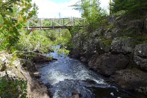
Agamok bridge over kekekabic trail
9/12/2014, 48.07852/-91.04901
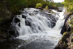
Agamok falls
9/12/2014, 48.07858/-91.04909
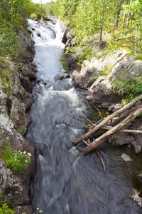
Agamok falls along kek trail
9/12/2014, 48.07859/-91.04912
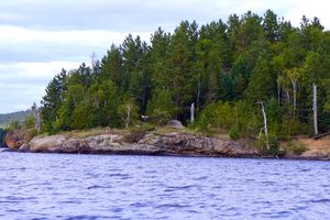
Gabimichigami island camp
9/13/2014, 48.06217/-91.01127
Gabimichigami island site
9/13/2014, 48.06217/-91.01127
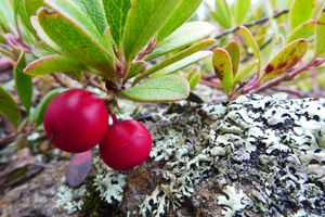
Bear berries
9/14/2014, 48.06242/-91.01131
Gabimichigami island camp
9/14/2014, 48.06217/-91.01127
Gabimichigami island site from lake
9/14/2014, 48.06217/-91.01127
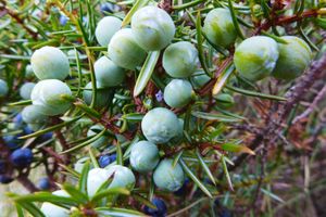
Juniper berries
9/14/2014, 48.06241/-91.01149
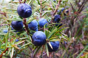
Juniper berries - ripe
9/14/2014, 48.06215/-91.01088
Kitchen area, gabimichigami island site
9/14/2014, 48.06217/-91.01127
Peter lake site
9/14/2014, 48.06884/-90.96798
Peter lake site
9/14/2014, 48.06884/-90.96798
FALSE portage take out!
9/15/2014, 47.96549/-91.09661
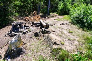
Malberg camp fire area
9/15/2014, 47.95329/-91.11398
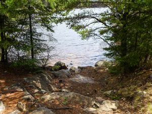
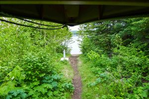
Malberg camp landing
9/15/2014, 47.95329/-91.11398
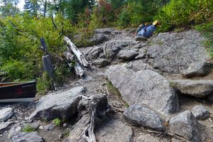
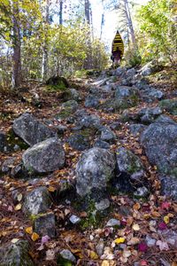
Steep beginning to this portage.
9/15/2014, 47.92557/-91.19725
WRONG portage!
9/15/2014, 47.96553/-91.09655
Camp on insula
9/16/2014, 47.93134/-91.26397
Fishdance pictograph
9/16/2014, 47.92112/-91.19558
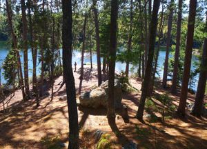
Fishdance pictograph cliffs
9/16/2014, 47.92121/-91.19551
Insula
9/16/2014, 47.93134/-91.26397
Insula camp site
9/16/2014, 47.93134/-91.26397
Insula site
9/16/2014, 47.93134/-91.26397
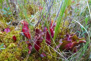
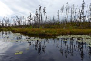
Carnivorous pitcher plants, pond on Hudson narrows
9/17/2014, 47.90353/-91.35229
Fire lake camp
9/17/2014, 47.92624/-91.35797
Fire lake camp
9/17/2014, 47.92624/-91.35797
Fishdance camp
9/17/2014, 47.9197/-91.19427
Fishdance camp kitchen area
9/17/2014, 47.9197/-91.19427
Pond off Hudson narrows
9/17/2014, 47.90338/-91.35173
Camp on lake two
9/18/2014, 47.90581/-91.4569
Lake two camp
9/18/2014, 47.90581/-91.4569
Lake two camp landing
9/18/2014, 47.90581/-91.4569
Lake two camp site
9/18/2014, 47.90581/-91.4569
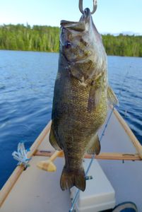
nice bass! south farm lake.
6/4/2015, 47.88777/-91.69752
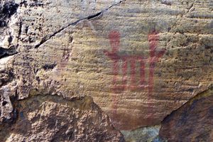
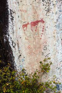
island river pictographs
6/15/2015, 47.77014/-91.27742
glacial erratics along the north kawishiwi
8/15/2015, 47.91104/-91.64753
wild rice along north kawishiwi
8/15/2015, 47.9105/-91.68468
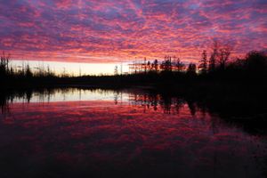
pond at sunset
10/17/2015
dave and amy fall resupply
11/7/2015, 48.03448/-91.41964
dave and amy headed for knife lake
11/7/2015, 48.03431/-91.42024
dave and amy resupply
11/7/2015, 48.03413/-91.41947
splash portage east side
11/7/2015, 48.03433/-91.41749
splash portage west side
11/7/2015, 48.03433/-91.41888
dave and amy resupply spring
4/16/2016, 48.01017/-91.46517
dave and amy spring resupply
4/16/2016, 48.01017/-91.46517
resupply of dave and amy
4/16/2016, 48.01017/-91.46517
resupply, spring, dave and amy
4/16/2016, 48.01017/-91.46517
spring dave and amy resupply
4/16/2016, 48.01017/-91.46517
gabbro island camp
5/4/2016, 47.85998/-91.60148
view of island camp on gabbro from water
5/4/2016, 47.85998/-91.60148
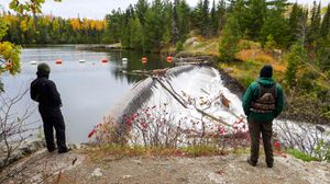
dam on little gabbro flowing toward south kawishiwi
5/5/2016, 47.86325/-91.61778
portage on south kawishiwi going to little gabbro
5/5/2016, 47.868/-91.61645
portage out of little gabbro to south kawishiwi
5/5/2016, 47.86328/-91.61817
portage trail leaving south kawishiwi going toward little gabbro
5/5/2016, 47.868/-91.61646
above sioux falls
7/3/2016, 48.10405/-92.21529
indian sioux river south
7/3/2016, 48.10944/-92.20997
little indian sioux river south
7/3/2016, 48.1115/-92.20748
sioux falls
7/3/2016, 48.10439/-92.21581
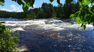
basswood falls
7/9/2016, 48.10583/-91.64864
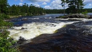
basswood falls drop
7/9/2016, 48.10692/-91.64864
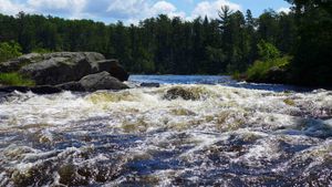
basswood falls next set of rapids
7/9/2016, 48.10852/-91.66194
basswood falls portage west end from side
7/9/2016, 48.10709/-91.66683
basswood falls spur trail
7/9/2016, 48.10886/-91.66065
basswood island camp
7/9/2016, 48.09133/-91.62406
basswood portage - one of the spur trails
7/9/2016, 48.10898/-91.66151
camp and tent area, basswood island
7/9/2016, 48.09133/-91.62406
camp kitchen area, basswood island
7/9/2016, 48.09133/-91.62406
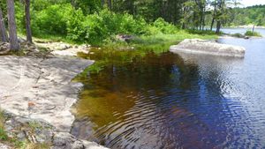
upper basswood falls - approaching east end of portage from water, falls on the right
7/9/2016, 48.1064/-91.65035
upper basswood falls portage east end
7/9/2016, 48.10491/-91.64915
upper basswood falls portage end on west side
7/9/2016, 48.10692/-91.66666
hanson island camp
7/10/2016, 48.09993/-91.61026
hanson island camp looking south west into bay toward small island camp
7/10/2016, 48.09993/-91.61026
hanson island camp tent area
7/10/2016, 48.09993/-91.61026
tent area of basswood island camp
7/10/2016, 48.09133/-91.62406
mink sleeping outside den on island camp, basswood
7/11/2016, 48.09133/-91.62406
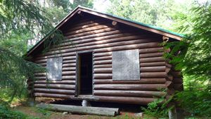
king's point ranger cabin - abandoned but open.
7/12/2016, 48.1105/-91.60204
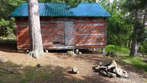
king's point ranger station - other cabin.
7/12/2016, 48.1105/-91.60204
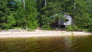
king's point ranger station camp from water
7/12/2016, 48.1105/-91.60204
basswood island camp landing/beach
7/14/2016, 48.09133/-91.62406
basswood island camp protected bay
7/14/2016, 48.09133/-91.62406
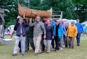
birch bark canoe displayed at pow wow
8/27/2016, 48.3725/-92.13839
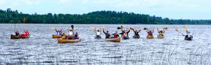
pow wow brigade arriving
8/27/2016, 48.37244/-92.13916
fall paddle, nina moose
10/2/2016, 48.16168/-92.0862
1940 waco biplane that crashed into crooked killing 2
10/3/2016, 48.22433/-91.89617
argo campsite
10/3/2016, 48.27216/-91.80016
argo campsite from water
10/3/2016, 48.27216/-91.80016
pictograph, darky lake
10/4/2016, 48.27851/-91.79326
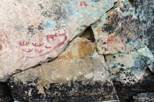
pictographs, darky lake
10/4/2016, 48.27822/-91.79369
view of argo lake from atop rock outcropping
10/4/2016, 48.2696/-91.76648
brent lake, misty morning
10/5/2016, 48.30512/-91.71344
fall colors fishing, sarah lake
10/6/2016, 48.19047/-91.55216
fishing, sarah lake
10/6/2016, 48.19104/-91.55319
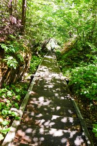
portage known as "the staircase"
10/6/2016, 48.22336/-91.6004
sarah lake campsite
10/6/2016, 48.20333/-91.5755
lining thru creek between isabella and north bay
10/7/2016, 48.17479/-91.4847
dam, prairie portage
10/8/2016, 48.04969/-91.43646
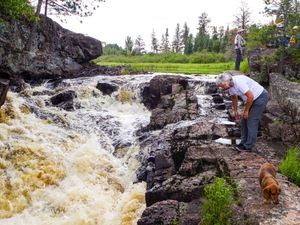
falls, prairie portage
10/8/2016, 48.04969/-91.43681
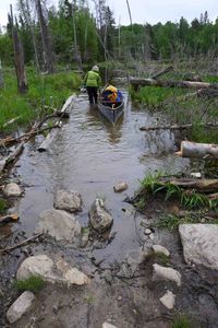
beaver pond crossing on portage
6/1/2018, 48.19945/-92.22962
shell lake portage
6/1/2018, 48.19979/-92.22937
shell lake portage 2
6/1/2018, 48.19985/-92.22971
shell lake portage beaver pond
6/1/2018, 48.19962/-92.22799
start of portage on pauness side
6/1/2018, 48.19779/-92.23795

start of portage on pauness side
6/1/2018, 48.19848/-92.23452
mountain lake camp
6/12/2018, 48.10019/-90.26031
mountain lake camp 2
6/12/2018, 48.10019/-90.26031
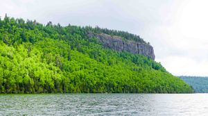
clearwater lake cliff
6/13/2018, 48.08129/-90.34667
rat lake camp
6/13/2018, 48.09912/-90.49377
rat lake portage toward rat
6/13/2018, 48.09952/-90.49541
rat lake portage toward rose
6/13/2018, 48.09958/-90.49524
rat to south lake portage
6/13/2018, 48.09929/-90.5028
rose lake cliff
6/13/2018, 48.09436/-90.44374
rose falls
6/14/2018, 48.09259/-90.44435
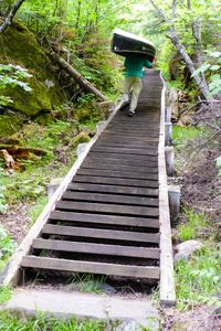
stairway portage going down
6/14/2018, 48.09253/-90.44512
stairway portage going up
6/14/2018, 48.09224/-90.44512
height of land portage approaching north lake
6/16/2018, 48.10038/-90.56614
height of land portage from north lake
6/16/2018, 48.10027/-90.56605
height of land portage from south lake
6/16/2018, 48.10078/-90.5664


