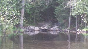
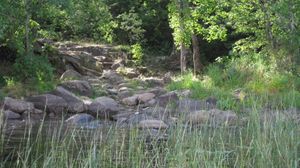
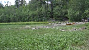
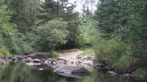
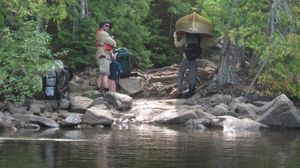
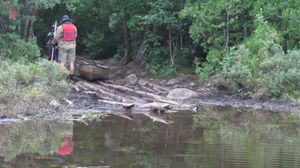
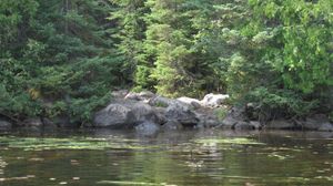
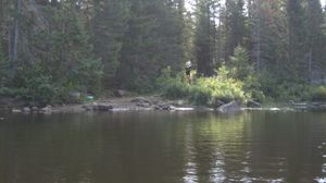
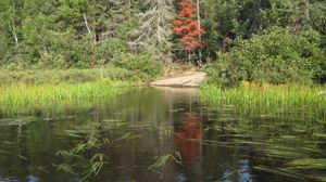
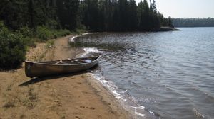
Moose River 20 rod - east landing
48.13059/-92.09385
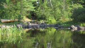
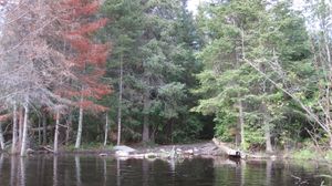
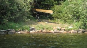
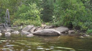
Moose River 20 rod - west landing
48.13111/-92.09513

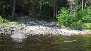
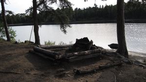
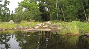
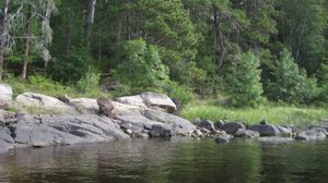
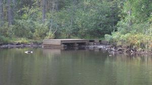
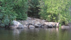
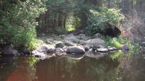
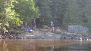
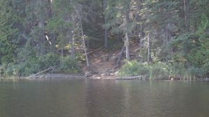
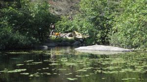
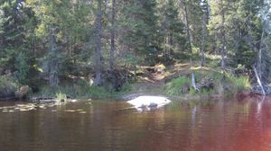
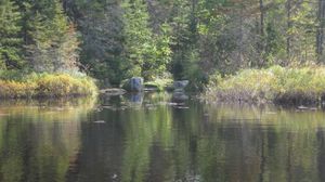
Site 639
48.00993/-90.50074
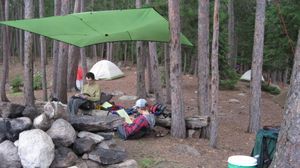
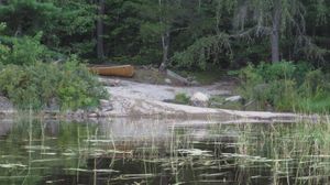
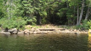
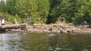
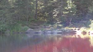
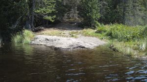
Campsite 1800
8/26/2020, 48.22324/-92.0406
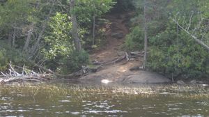
Nina Moose River 96 rod - north landing
8/26/2020, 48.19567/-92.07812
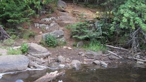
Agnes to Boulder River 24 rod - north landing
8/27/2020, 48.23326/-92.03185
Agnes to Boulder River 24 rod - south landing
8/27/2020, 48.2324/-92.03121
Boulder River to LLC 65 rod - north landing
8/27/2020, 48.23962/-92.02358
Boulder River to LLC 65 rod - south landing
8/27/2020, 48.23746/-92.02629
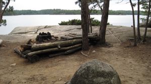
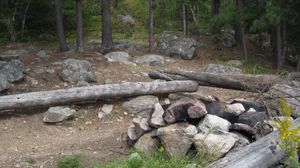
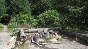
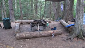
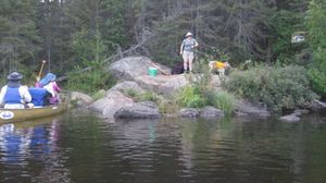
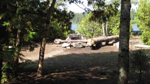
campsite 178 cooking area
8/27/2020, 48.2502/-92.0063
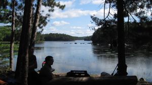
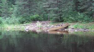
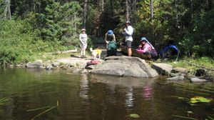
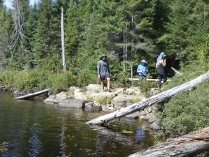
campsite 178 full view
8/27/2020, 48.2502/-92.0063
campsite 179
8/27/2020, 48.25127/-92.01457
Nina Moose River 70 rod - north landing
8/27/2020, 48.18477/-92.07667
Nina Moose River 70 rod - south landing
8/27/2020, 48.18245/-92.07375
Nina Moose River 96 rod - south landing
8/27/2020, 48.19187/-92.07779
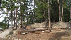
campsite 171
8/28/2020, 48.27412/-92.01558

campsite 175
8/28/2020, 48.25769/-92.00228
campsite 175
8/28/2020, 48.25769/-92.00228
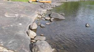
campsite 175 beach
8/28/2020, 48.25769/-92.00228
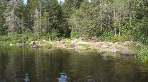
beaver pond to Iron 240 rod - east landing
8/29/2020, 48.23885/-91.97187
beaver pond to Iron 240 rod - west landing
8/29/2020, 48.23914/-91.98655
beaver pond to Iron 240 rod - west landing with paracord
8/29/2020, 48.23914/-91.98655
Bottle portage - east landing
8/29/2020, 48.25533/-91.97129
Bottle portage - west landing
8/29/2020, 48.25802/-91.97467
campsite 1833 cooking area
8/29/2020, 48.24679/-91.95708
campsite 1833 view
8/29/2020, 48.24679/-91.95708
Curtain Falls portage - west landing
8/29/2020, 48.23679/-91.91437
LLC to beaver pond 65 rod - east landing
8/29/2020, 48.23959/-91.98913
LLC to beaver pond 65 rod - west landing
8/29/2020, 48.24154/-91.9923
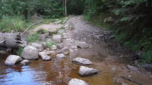
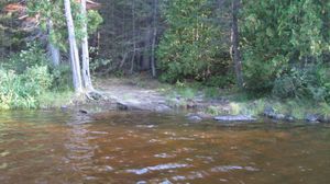
EP to Moose River portage
8/30/2020, 48.12996/-92.09796
Moose River 25 rod - north landing
8/30/2020, 48.13595/-92.09051
Moose River 25 rod - south landing
8/30/2020, 48.13499/-92.09066
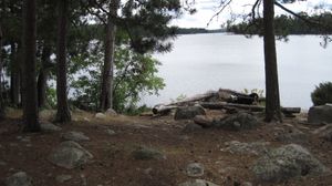
site 1787 cooking area
8/30/2020, 48.1662/-92.07769
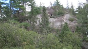
Top of the World - from the river
8/30/2020, 48.14656/-92.08551
Top of the World - north landing
8/30/2020, 48.14713/-92.08577
Top of the World - south landing
8/30/2020, 48.14639/-92.08611
Top of the World south landing from river
8/30/2020, 48.14639/-92.08611
Poplar-Lizz portage north landing
8/16/2021, 48.04016/-90.51155
Caribou-Horseshoe portage north landing
8/17/2021, 48.01984/-90.50065
Lizz-Caribou portage north landing
8/17/2021, 48.03014/-90.50224
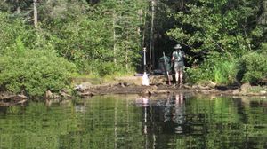
Site 639
8/17/2021, 48.01014/-90.50056
Tiny Poplar portage - east side
8/17/2021, 48.03763/-90.47833
Gaskin-Winchell portage north landing
8/18/2021, 47.99814/-90.54494
Gaskin-Winchell portage south landing
8/18/2021, 47.99549/-90.54545
Horseshoe-Gaskin north landing
8/18/2021, 48.00905/-90.51586
Horseshoe-Gaskin portage south landing
8/18/2021, 48.00537/-90.51816
Horseshoe-Vista portage north landing
8/19/2021, 48.00021/-90.48333
Horseshoe-Vista portage south landing
8/19/2021, 47.99894/-90.48331
Allen-Jump portage north landing
8/20/2021, 48.01198/-90.52786
Gaskin-Jump portage south landing
8/20/2021, 48.00663/-90.52932
Horseshoe-Allan portage north landing
8/20/2021, 48.01663/-90.51696
Horseshoe-Allan portage south landing
8/20/2021, 48.0145/-90.5197

Jump-Allen portage north landing
8/20/2021, 48.01186/-90.52786
Jump-Allen portage south landing
8/20/2021, 48.01077/-90.52734
Caribou-Horseshoe portage south landing
8/22/2021, 48.01864/-90.50005
Lizz-Caribou portage south landing
8/22/2021, 48.02697/-90.50426
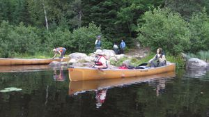
Poplar B&B Landing
8/22/2021, 48.03683/-90.47507
Poplar-Lizz portage south landing
8/22/2021, 48.03804/-90.50949
Tiny Poplar portage - west side
8/22/2021, 48.03792/-90.47919
Cross Bay - Rib north landing
9/1/2023, 48.04838/-90.7914
Cross Bay - Rib south landing
9/1/2023, 48.04723/-90.78794
Cross River - Ham NW landing
9/1/2023, 48.07144/-90.81484
Cross River - Ham SE landing
9/1/2023, 48.07089/-90.81255
Cross River 50 rod NW landing
9/1/2023, 48.0754/-90.82219
Cross River 50 rod SE landing
9/1/2023, 48.07431/-90.81847
Cross River lot landing
9/1/2023, 48.07716/-90.82355
Ham - Cross Bay north landing
9/1/2023, 48.06566/-90.79935
Ham - Cross Bay south landing
9/1/2023, 48.06463/-90.79892
Karl - Long Island NE landing
9/1/2023, 48.02188/-90.77618
Lower George - Karl north landing
9/1/2023, 48.02589/-90.77637
Lower George - Karl south landing
9/1/2023, 48.02491/-90.77593
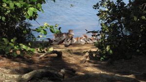
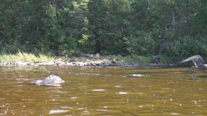
Mergansers on Long Island
9/1/2023, 48.01598/-90.78388
Rib - Lower George north landing
9/1/2023, 48.0338/-90.77994
Rib - Lower George south landing
9/1/2023, 48.03282/-90.77815
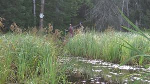
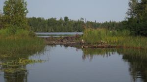
Beaver dam between Long Island and Gordon
9/2/2023, 48.00796/-90.78844

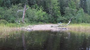
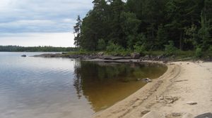
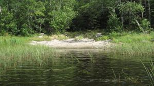
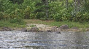
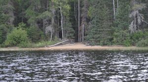
Frost Lake Beach
9/2/2023, 47.99635/-90.81573
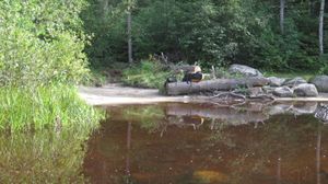
Frost Lake sandy beach
9/2/2023, 47.99635/-90.81573
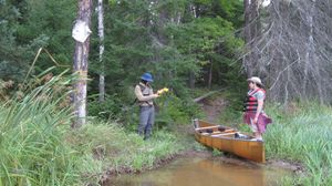
Gordon - Unload east landing
9/2/2023, 47.9961/-90.79285
Gordon to Unload west landing
9/2/2023, 47.99414/-90.80116
Site 879 on Frost Lake
9/2/2023, 47.99467/-90.81349
Unload to Frost east landing
9/2/2023, 47.99356/-90.80397
Unload to Frost west landing
9/2/2023, 47.99328/-90.80623
Long Island - Muskeg NE landing
9/4/2023, 48.00916/-90.72772
Long Island - Muskeg SW landing
9/4/2023, 48.00849/-90.7288
Muskeg - Kiskadinna NW landing
9/4/2023, 48.00853/-90.71413
Muskeg - Kiskadinna SE landing
9/4/2023, 48.0052/-90.70475
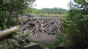
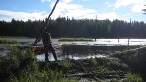
Muskeg Lake beaver dam
9/4/2023, 48.00916/-90.72775
Karl - Long Island SW landing
9/5/2023, 48.02098/-90.77769


