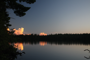
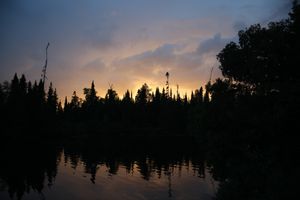
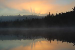
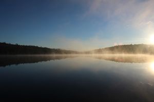
Sawbill twilight
7/25/2020, 47.86431/-90.88743
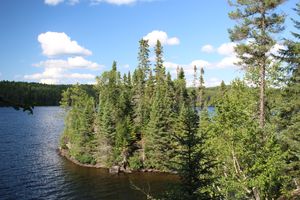
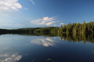
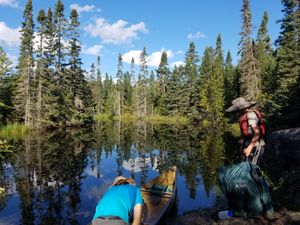
Campsite #893 island
7/26/2020, 47.97067/-90.78898
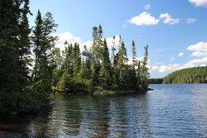
Campsite #893 island
7/26/2020, 47.97067/-90.78898
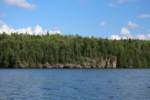
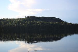
Cherokee cliff
7/26/2020, 47.97067/-90.78516
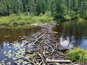
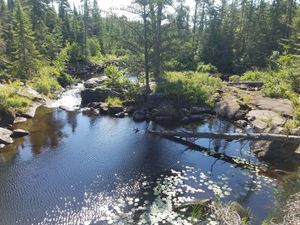
Cherokee Cr. dam, July 2020
7/26/2020, 47.94702/-90.82875
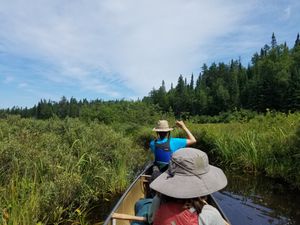
Cherokee Creek
7/26/2020, 47.93411/-90.84267
Turtle
7/26/2020, 47.94778/-90.83349
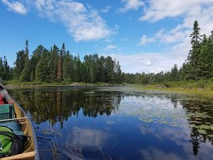
Bay before Long Island Lake
7/27/2020, 48.00669/-90.78917
Campsite #956, channel sunset
7/27/2020, 47.93912/-90.74126
Campsite #956, view to the north
7/27/2020, 47.93912/-90.74126
Campsite #956, view toward rockslide
7/27/2020, 47.93912/-90.74126
Long Island Lake, from site #569
7/27/2020, 48.01433/-90.78992
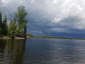
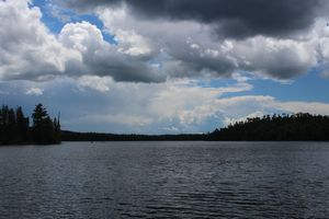
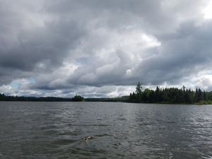
Running from the storm
7/27/2020, 47.95371/-90.80012
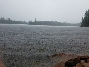
Waiting out the storm on land
7/27/2020, 47.94803/-90.79781
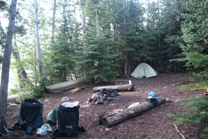
Campsite #824
7/28/2020, 47.86816/-90.81591
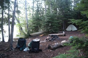
Campsite #824
7/28/2020, 47.86816/-90.81591
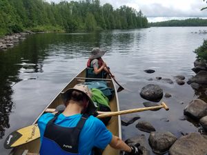
Portage #575 W landing
7/28/2020, 47.9371/-90.75866
Portage #600 Rapids/falls (2020)
7/28/2020, 47.91062/-90.78936
Upper arm of Jack Lake
7/28/2020, 47.90741/-90.7927
Campsite #824 Sunrise
7/29/2020, 47.86816/-90.81591
Cloudy day on Burnt Lake
7/29/2020, 47.87591/-90.83425
Kelly Lake morning
7/29/2020, 47.86873/-90.81536
Portage #642, Sawbill side
7/29/2020, 47.88225/-90.87203


