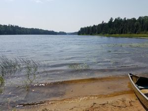
Low water in LIS river
47.99673/-92.21961
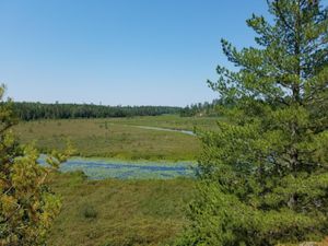
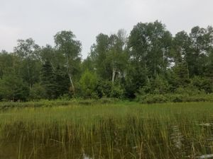
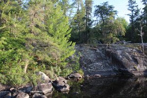
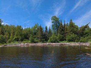
Pine creek overlook
47.9697/-92.25104
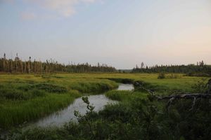
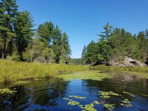
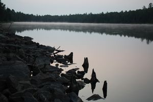
Portage landing, low water
47.99957/-92.23233
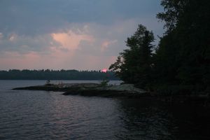
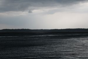
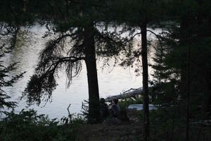
Smoky, stormy, sunset
47.96908/-92.29082
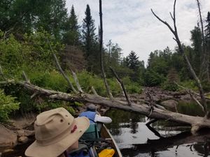
Cherokee Creek, after portage 571
7/26/2020, 47.94845/-90.8375
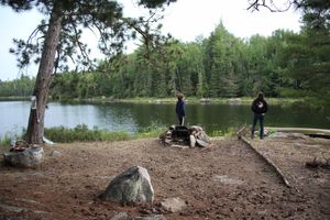
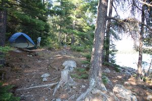
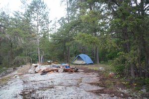
Campsite #255
7/21/2021, 48.01424/-92.29819
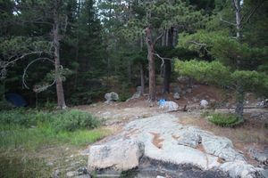
Campsite #255
7/21/2021, 48.01424/-92.29819
Campsite #255
7/21/2021, 48.01424/-92.29819
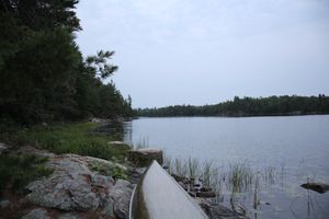
Entrance to Little Trout Portage
7/21/2021, 48.0143/-92.28679
Near-fatal encounter with a storm
7/23/2021, 47.96648/-92.2944
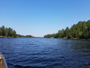
Cummings Lake, W arm Narrows
7/24/2021, 47.98852/-92.12722
Eastern end of Buck, sandy portage landing
7/24/2021, 47.97543/-92.16996
End of Portage to Chad Lake
7/24/2021, 47.96928/-92.23573
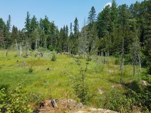
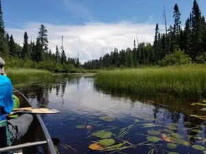
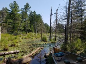
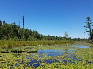
Meadow between Chad and Buck
7/24/2021, 47.96863/-92.21191
Campsite #279
7/25/2021, 47.95114/-92.16653
Campsite #279 landing
7/25/2021, 47.95114/-92.16653
Campsite #293
7/25/2021, 47.98487/-92.12165
Campsite #293
7/25/2021, 47.98487/-92.12165
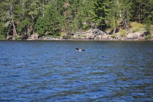
Chonky loon
7/25/2021, 47.97375/-92.07979
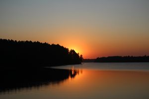
Cummings sunrise
7/25/2021, 47.98488/-92.1202
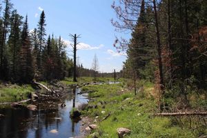
Korb River
7/25/2021, 47.96761/-92.07159
Korb River
7/25/2021, 47.96199/-92.06843
Lunetta-Schlamn portage
7/25/2021, 47.9548/-92.11941
Portage #801 stream crossing
7/25/2021, 47.95477/-92.11877
Campsite #279, pre-dawn
7/26/2021, 47.95114/-92.16653
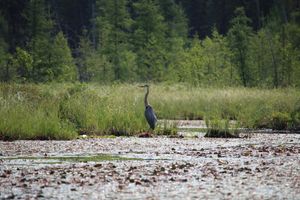
Heron
7/26/2021, 47.95604/-92.10888
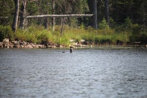
otters
7/27/2021, 47.93182/-92.11089
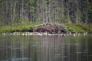
Ottertown
7/27/2021, 47.93238/-92.11158
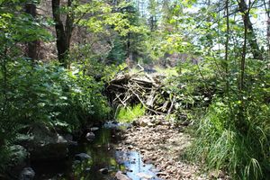
Log pile
7/9/2022, 47.99195/-91.59663


