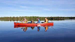
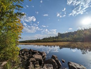
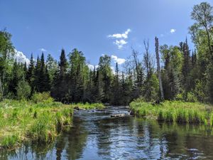
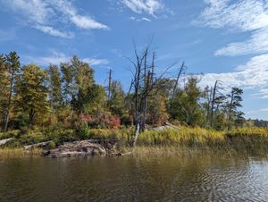
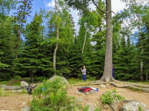
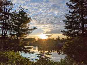
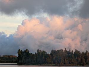
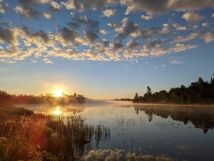
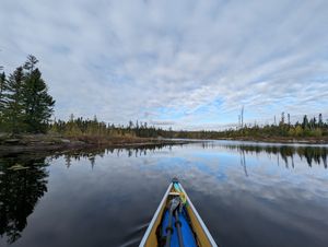
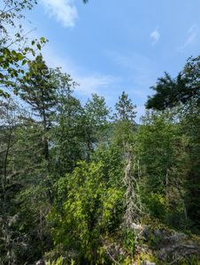
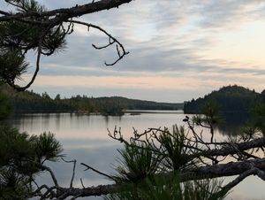
beautiful day
47.98306/-91.59205
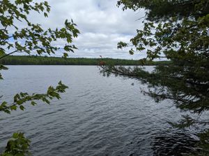
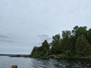
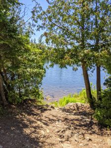
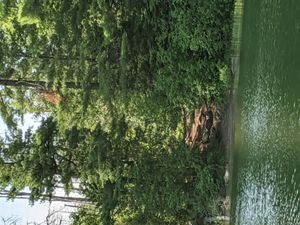
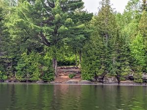
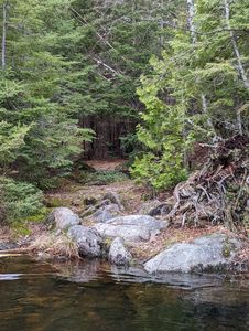
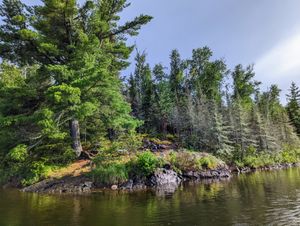
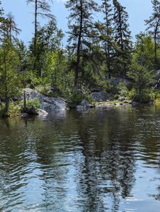
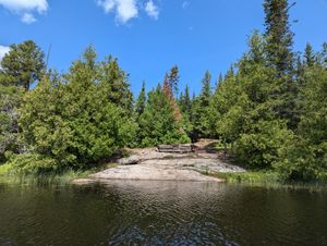
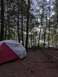
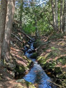
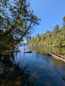
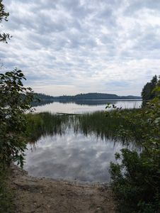
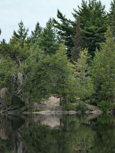
camp from lake
48.05497/-90.80681
camp from water
47.92605/-91.21091
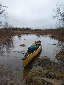
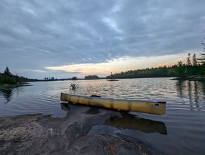
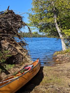
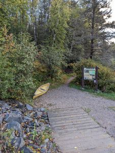
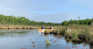
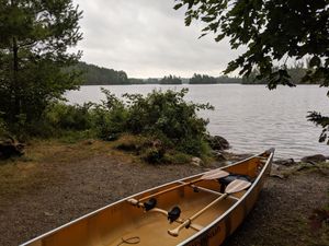
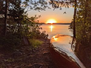
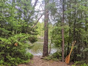
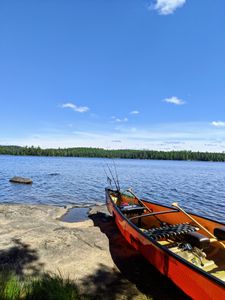
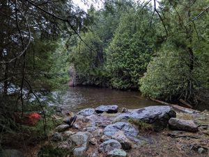
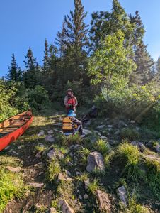
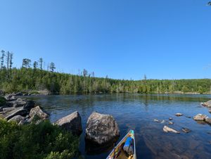
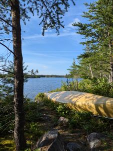
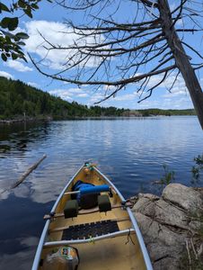
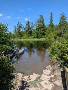
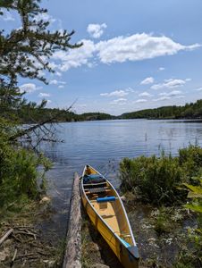
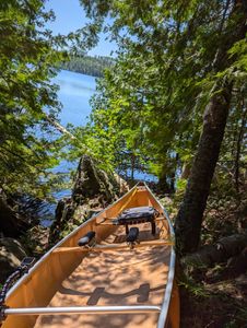
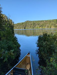
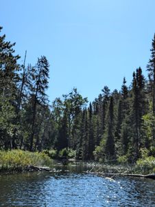
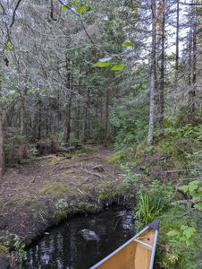
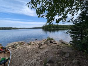
canoe landing
47.83921/-91.10236
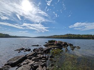
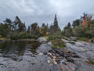
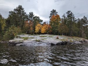
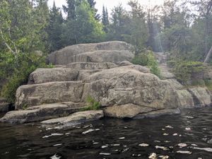
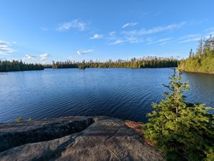
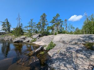
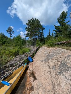
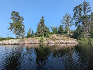
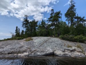
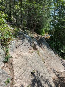
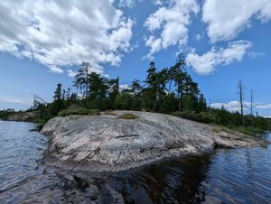
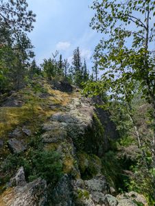
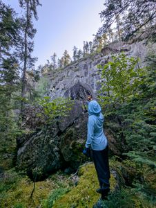
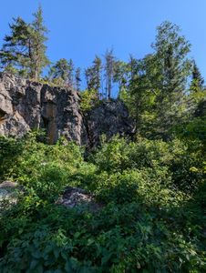
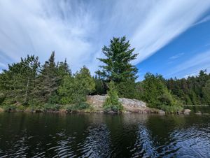
cliff
47.9855/-91.14024
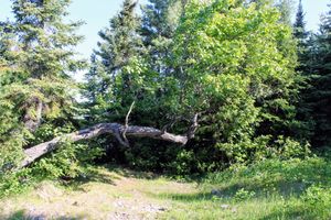
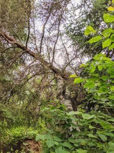
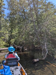
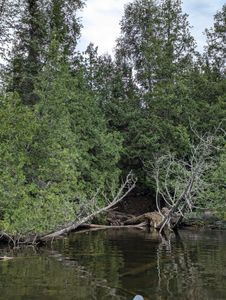
critter large or small?
47.98448/-91.58642
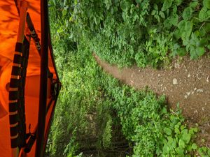
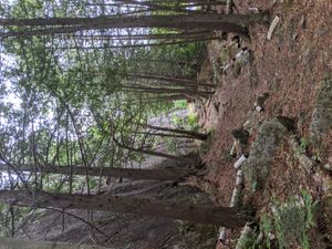
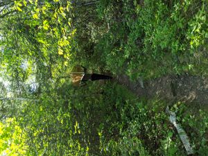
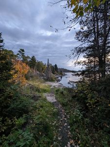
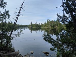
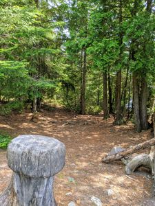
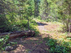
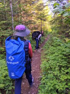
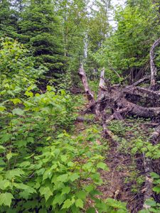
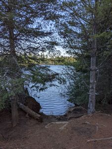
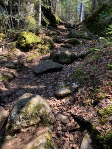
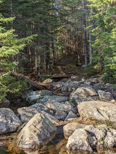
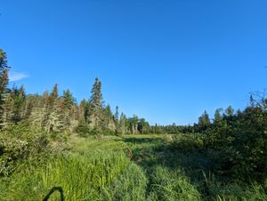
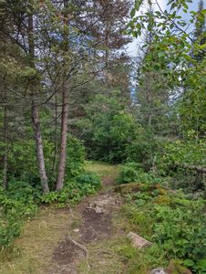
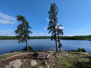
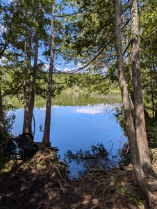
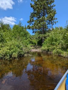
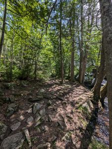
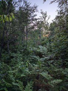
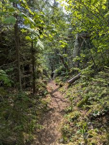
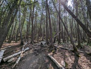
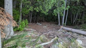
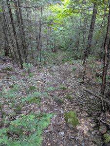
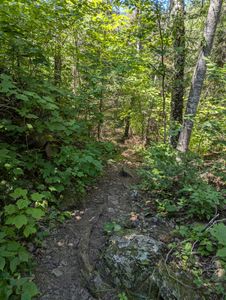
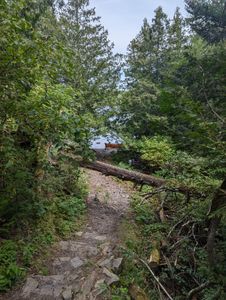
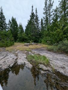
easy walk
47.97323/-91.26125
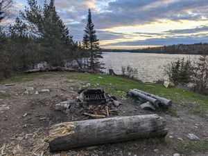
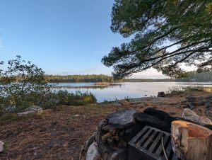
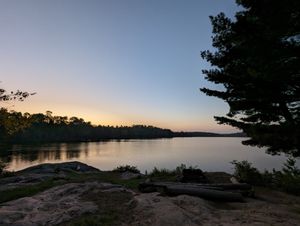
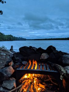
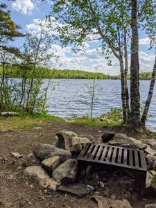
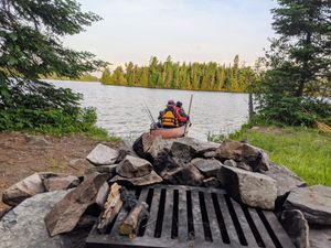
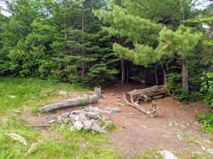
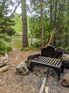
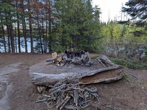
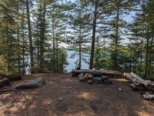
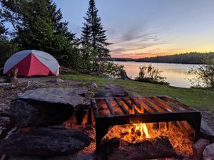
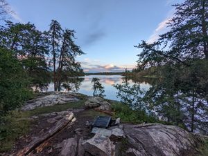
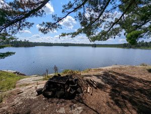
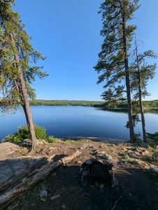
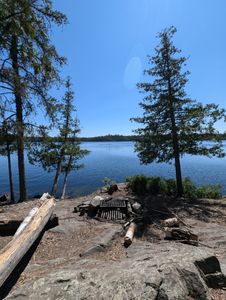
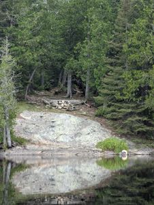
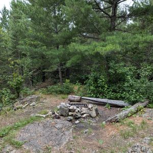
fire pit view
47.98448/-91.58642
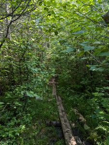
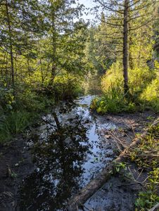
Flooded portage
47.96277/-91.60073
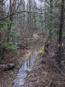
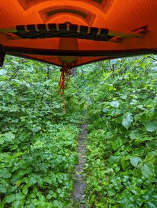
Flooded trail
47.96296/-91.6005
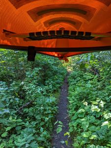
Hula portage
47.99255/-91.59729
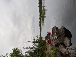
Insula Landing
47.93045/-91.24606
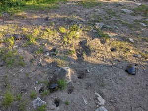
invaded by turtles
47.98448/-91.58642
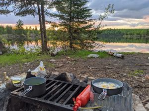
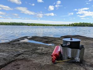
kitchen
48.08125/-91.82656
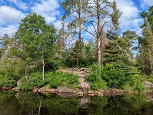
land
48.07903/-91.81395
landing
48.08125/-91.82656
landing
48.07879/-91.81471
landing
48.0325/-91.83355
landing
47.92555/-91.19724
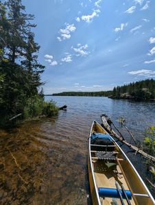
landing
47.83921/-91.10236
landing
48.14642/-92.21063
landing
47.95864/-91.60406
landing
47.98448/-91.58642
landing
48.01684/-90.55522
landing on Good
48.00222/-91.59911
load
48.14642/-92.21063
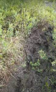
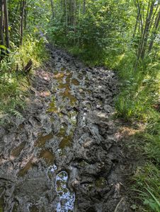
mud
48.00561/-91.12661
mudro ep
48.03211/-91.83425
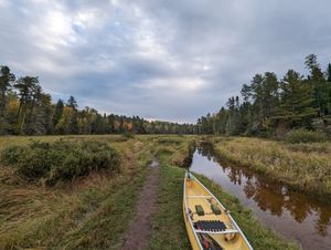
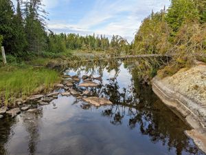
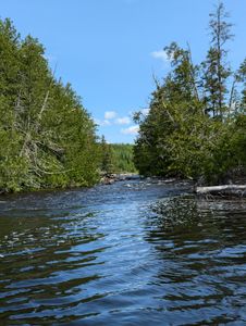
paddle thru to Wood
47.96696/-91.59714
point
48.193/-92.2573
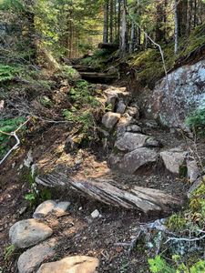
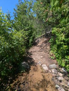
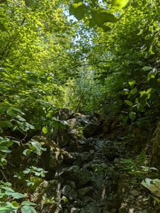
portage
48.07874/-91.81488
possible fishing spot
47.92388/-91.20727
Side channel west of Hula landing
47.99272/-91.59778
start of portage to crab
47.92955/-92.03128
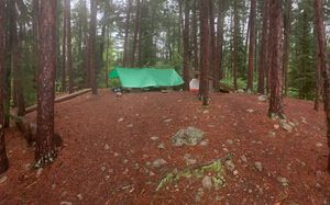
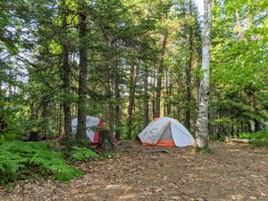
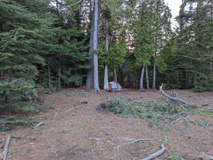
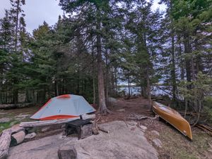
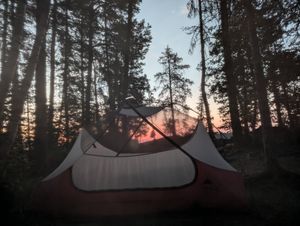
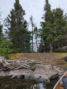
tent spot
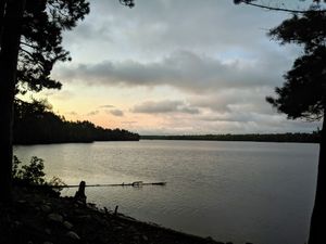
47.98448/-91.58642
tow
47.92033/-91.97405
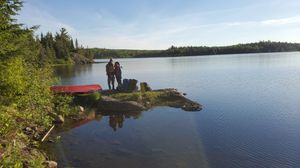
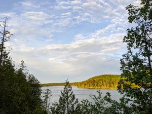
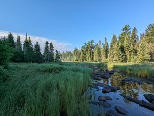
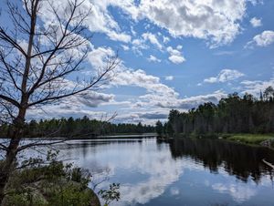
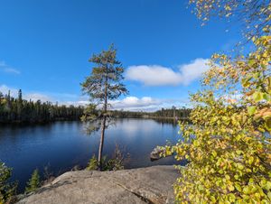
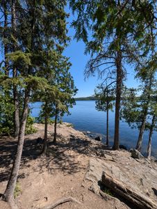
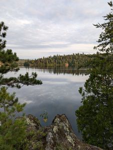
View
48.193/-92.2573
View from Hula landing
47.99255/-91.59728
View from Indiana
48.01231/-91.58684
view from Kiana
47.97316/-91.26134
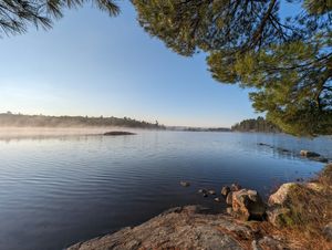
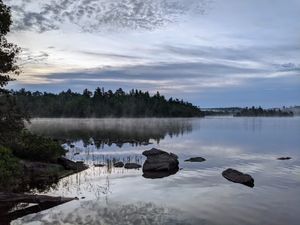
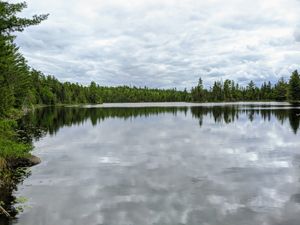
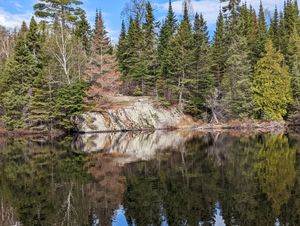
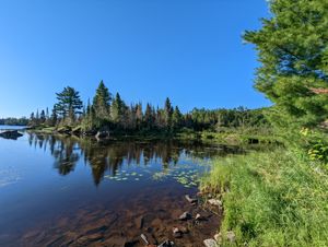
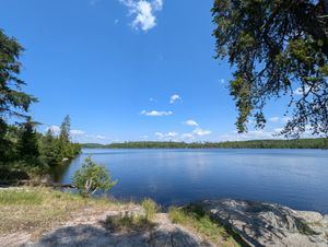
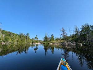
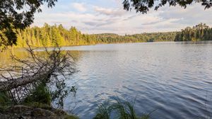
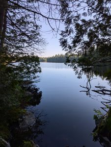
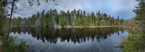
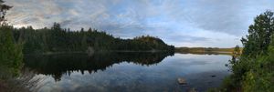
View from lake
48.18912/-92.24889
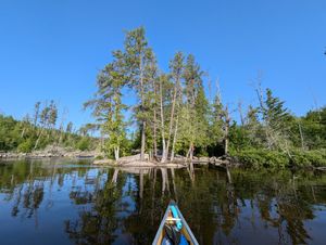
view from lake
47.92857/-91.21455

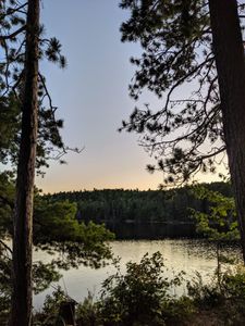
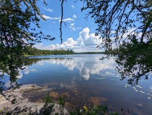
view from tent
47.98448/-91.58642
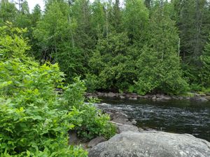
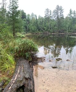
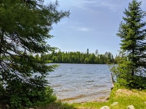
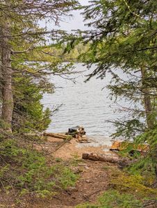
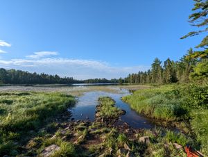
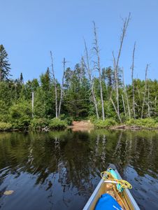
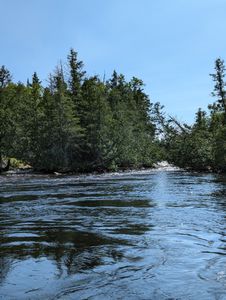
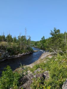
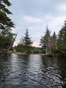
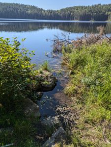
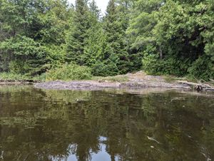
view from water
48.07624/-91.80179
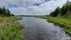
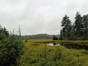
View of Beaver Lake
47.98424/-91.14273
wood ep
47.95864/-91.60406
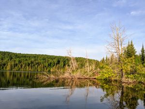
Wood Lake Overlook
47.9859/-91.5898
Wood Lake View
47.9859/-91.5898
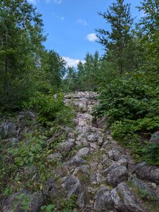
wood portage
47.96208/-91.60137
Portage
8/26/2019, 47.93698/-92.03422
Portage
8/26/2019, 47.93721/-92.04599
Campsite
8/26/2019, 47.95128/-92.06649
Campsite
8/26/2019, 47.95128/-92.06649
Campsite
8/27/2019, 47.95128/-92.06649
Campsite
8/27/2019, 47.95128/-92.06649
Campsite
8/28/2019, 47.95128/-92.06649
Campsite
8/30/2019, 47.95128/-92.06649
Campsite
8/31/2019, 47.95128/-92.06649
Campsite
8/31/2019, 47.95128/-92.06649
Portage
8/31/2019, 47.93698/-92.03422
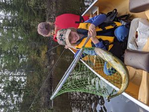
First walleye of her life!
5/25/2020, 47.9886/-91.59164
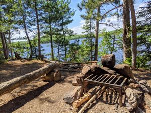
View from fire pit
5/25/2020, 47.98664/-91.58969
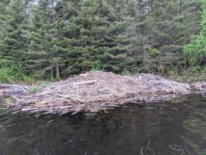
Beaver Lodge
5/26/2020, 47.9921/-91.57173
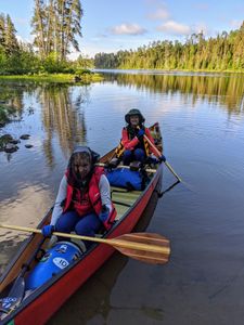
Hulu leaving southern landing
5/27/2020, 47.99471/-91.59697
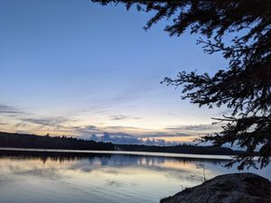
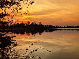
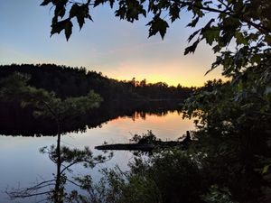
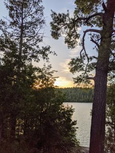
Sunrise from camp
5/27/2020, 47.98664/-91.58969
view from camp ground
5/27/2020, 48.0082/-91.60436

view from camp ground
5/27/2020, 48.0082/-91.60436
View of lake from fire pit
5/27/2020, 48.00291/-91.61153
View from hill behind camp
5/28/2020, 47.98664/-91.58969
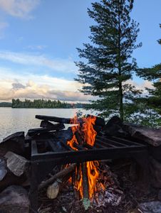
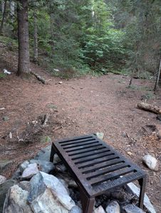
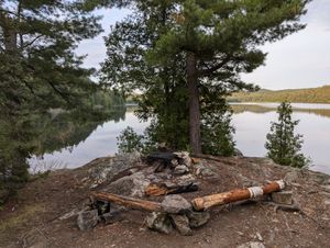
fire pit
6/12/2020, 48.07978/-91.20869
landing
6/12/2020, 48.07978/-91.20869
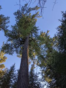
bear bag tree
6/13/2020, 48.09775/-91.22781
bear tree view from fire pit
6/13/2020, 48.09775/-91.22781
eastern landing
6/13/2020, 48.09775/-91.22781
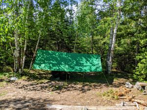
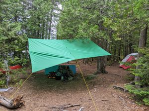
good tarp trees
6/13/2020, 48.09775/-91.22781
sunrise landing view
6/13/2020, 48.09775/-91.22781
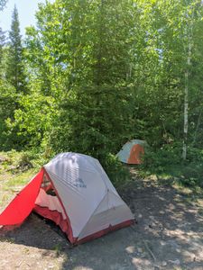
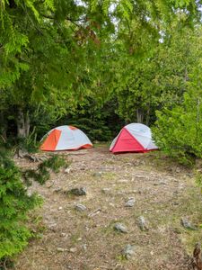
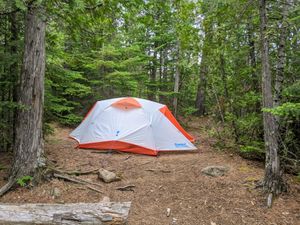
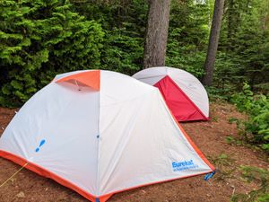
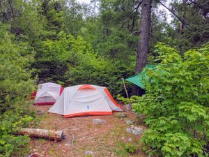
tent pads
6/13/2020, 48.09775/-91.22781
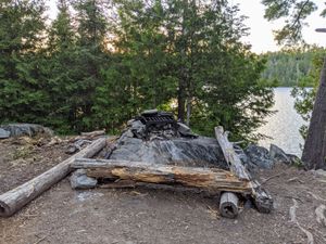
view from fire pit
6/13/2020, 48.09775/-91.22781

low tarp due to high wind and rain
6/15/2020, 48.09376/-91.12713
north portage landing
6/15/2020, 48.10195/-91.16807
small tent spots
6/15/2020, 48.09376/-91.12713
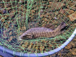
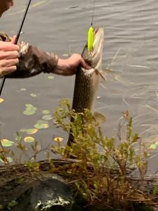
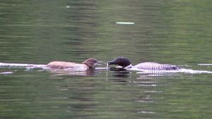
smallie
6/15/2020, 48.1003/-91.203
view from hill above site
6/15/2020, 48.09376/-91.12713
camp
6/16/2020, 48.06345/-91.19073
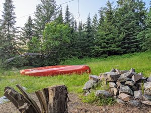
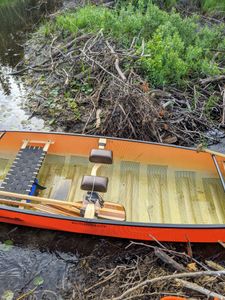
canoe in grass
6/16/2020, 48.06345/-91.19073
Fire pit view of the lake
6/16/2020, 48.06345/-91.19073
Lake view from site
6/16/2020, 48.06345/-91.19073
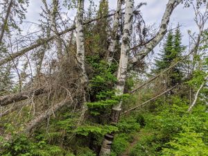
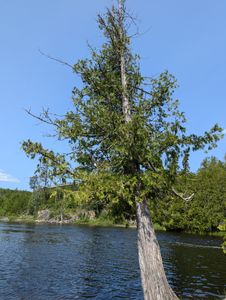
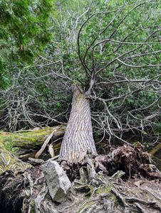
leaning tree
6/16/2020, 48.06345/-91.19073
tent spots
6/16/2020, 48.06345/-91.19073
camp
6/18/2020, 48.01212/-91.16522
cliff camp site
6/18/2020, 48.03752/-91.177
fire pit
6/18/2020, 48.01212/-91.16522
fishing spot
6/18/2020, 48.05347/-91.18936
tarp spot
6/18/2020, 48.01212/-91.16522
tent pad
6/18/2020, 48.01212/-91.16522
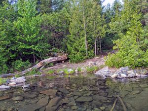
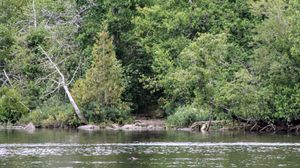
view from water
6/18/2020, 48.01727/-91.17165
canoe on landing
6/19/2020, 48.01533/-91.11711
cooking on landing
6/19/2020, 48.01533/-91.11711
fit two small tents in the one spot
6/19/2020, 48.01533/-91.11711
Look for this log then turn south to boulder
6/19/2020, 48.02558/-91.11344
float thru dam
6/20/2020, 48.00627/-91.12567

lots of beaver activity
6/20/2020, 48.00297/-91.12552
tree down at Boulder enter/exit
6/20/2020, 48.0074/-91.12464
view from landing
6/20/2020, 48.01533/-91.11711
open and shaded
6/21/2020, 47.93446/-91.26237
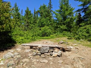
Open site
6/21/2020, 47.93446/-91.26237
rock landing
6/21/2020, 47.93446/-91.26237

View into Insula
6/21/2020, 47.93446/-91.26237
Back side of the island thru trails
6/22/2020, 47.98699/-91.23469
Center of camp
6/22/2020, 47.98699/-91.23469
Insula to Kiana
6/22/2020, 47.9518/-91.26257
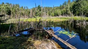
muskrat lake trail
6/22/2020, 48.00608/-91.19614
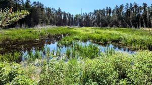
Muskrat lake view
6/22/2020, 48.00549/-91.19511
muskrat trail tree down
6/22/2020, 48.00612/-91.19614
Sun and fog
6/22/2020, 47.94671/-91.26257
Trinity Lake from portage trail
6/22/2020, 48.01494/-91.21116
View from Insula landing
6/22/2020, 47.95269/-91.26274
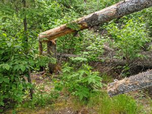
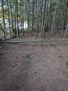
fallen tree across another downed tree
6/23/2020, 48.00501/-91.30872
tree down on latrine trail
6/23/2020, 48.00501/-91.30872
trees across latrine trail
6/23/2020, 48.00501/-91.30872
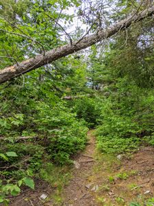
two trees across trail
6/23/2020, 48.00501/-91.30872
view from camp at sunrise
6/24/2020, 48.00501/-91.30872
Tents pads in back
6/17/2021, 48.28996/-92.2497
camp
6/18/2021, 48.31742/-92.23905
mud
6/19/2021, 48.32128/-92.24995
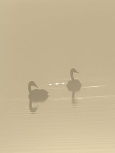
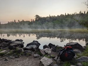
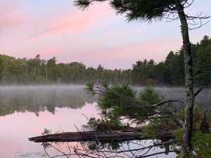
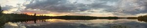
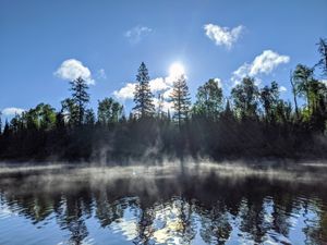
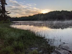
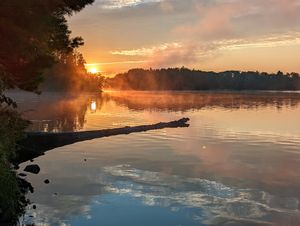
wood lake swan in the fog
5/16/2022, 47.98429/-91.58238
fire pit
5/23/2022, 48.00933/-90.49163

North rock
5/23/2022, 48.00933/-90.49163
North rock
5/23/2022, 48.00933/-90.49163
south landing
5/23/2022, 48.00933/-90.49163
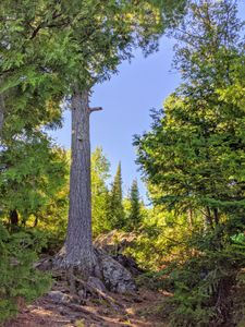
tall tree in camp
5/23/2022, 48.00933/-90.49163
tent pad
5/23/2022, 48.00933/-90.49163
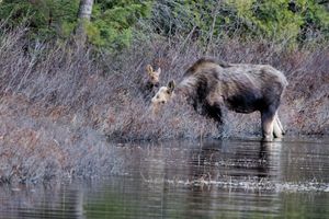
Cow and Calf
5/24/2022, 48.00855/-90.49035
Up the hill
5/24/2022, 48.01706/-90.5676
Henson side
5/25/2022, 48.00769/-90.62695
Landing and Fire Pit
5/25/2022, 48.01706/-90.5676
Pillsbery Landing
5/25/2022, 48.01383/-90.58041
site from lake
5/25/2022, 48.01171/-90.58336
View of landing
5/26/2022, 48.00856/-90.64873
Omega camp
5/27/2022, 48.01091/-90.63311
steep
5/27/2022, 48.00824/-90.66067
steeper
5/27/2022, 48.00813/-90.66062
Omega Landing
5/28/2022, 48.01476/-90.63487
Firepit
5/30/2022, 48.00074/-90.53938
Winchell Landing from Omega
5/30/2022, 48.00072/-90.63397
Camp
5/31/2022, 48.02172/-90.5188
rocky
6/21/2022, 48.01542/-90.51825
Conchu portage
7/21/2022, 47.92021/-91.59588
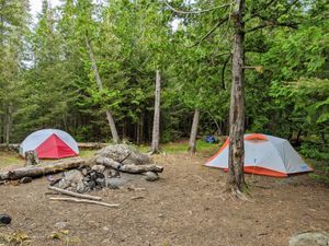
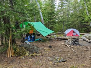
camp
7/25/2022, 47.98448/-91.58642
landing on clear
7/25/2022, 47.90409/-91.64473
portage clear
7/25/2022, 47.90493/-91.64666
landing
7/25/2022, 47.90396/-91.63828
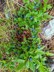
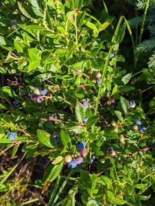
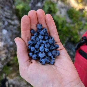
blueberries
7/25/2022, 47.90485/-91.63133
Campfire
7/26/2022, 47.90485/-91.63133
storm
7/26/2022, 47.90485/-91.63133
blueberries clear
7/27/2022, 47.89481/-91.62792
Clear lake southern most landing
7/27/2022, 47.89509/-91.62877
Firepit
7/27/2022, 47.91883/-91.60261
firepit
7/27/2022, 47.91967/-91.59645
grass
7/27/2022, 47.89477/-91.62776
landing
7/27/2022, 47.91883/-91.60261
river landing
7/27/2022, 47.89463/-91.62746
river landing spot
7/27/2022, 47.8948/-91.62787
secluded tent pad
7/27/2022, 47.91883/-91.60261
tents or tarp spot
7/27/2022, 47.91883/-91.60261
sunrise
7/27/2022, 47.90485/-91.63133
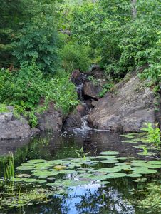
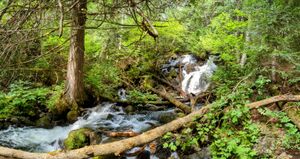
Hidden Trickle Falls
7/29/2022, 47.92005/-91.59976
View of camp
7/29/2022, 47.92129/-91.59442
View WSW
7/29/2022, 47.92405/-91.59336
Camp view from water
7/30/2022, 47.91476/-91.64211
east landing view
7/30/2022, 47.91851/-91.60671
waterfall
7/30/2022, 47.91857/-91.60744
view from camp
10/5/2022
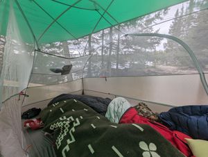
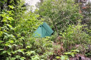
Tent
10/2/2023
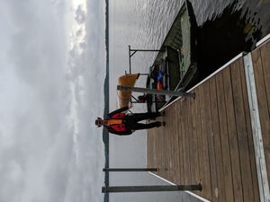
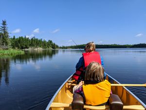
paddling
10/5/2023
clove
7/10/2024, 48.13451/-90.80276
east landing
7/10/2024, 48.12812/-90.78453
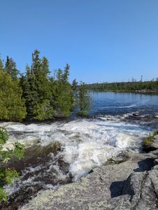
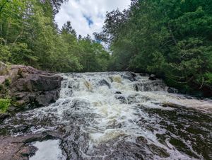
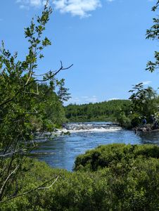
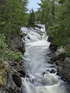
falls
7/10/2024, 48.11878/-90.77414
landing
7/10/2024, 48.12835/-90.78653
landing
7/10/2024, 48.11868/-90.77378
landing
7/10/2024, 48.11707/-90.76903
Pine Landing to Clove
7/10/2024, 48.13227/-90.79261
view
7/10/2024, 48.11724/-90.77062

view from landing
7/10/2024, 48.12816/-90.78457
clove 2
7/11/2024, 48.13451/-90.80276
Clove2
7/12/2024, 48.13451/-90.80276
clove3
7/17/2024, 48.13451/-90.80276
canoe storage
7/18/2024, 48.23116/-90.84318

canoe storage
7/18/2024, 48.23116/-90.84318
east landing
7/18/2024, 48.15953/-90.79387
falls
7/18/2024, 48.22937/-90.83965
landing
7/18/2024, 48.14625/-90.7848
landing
7/18/2024, 48.15949/-90.79355
little rapids
7/18/2024, 48.15958/-90.79424
mud
7/18/2024, 48.1465/-90.78424
north landing
7/18/2024, 48.17062/-90.8032
north landing
7/18/2024, 48.18578/-90.82812
north landing
7/18/2024, 48.21844/-90.83606
north landing
7/18/2024, 48.22932/-90.83972
overgrown
7/18/2024, 48.18453/-90.8271
plank
7/18/2024, 48.15495/-90.78283
rock path
7/18/2024, 48.21832/-90.83607
rock slab
7/18/2024, 48.18167/-90.81988
rocky
7/18/2024, 48.18506/-90.82747

site
7/18/2024, 48.23116/-90.84318
slab
7/18/2024, 48.21837/-90.83606
South landing
7/18/2024, 48.16987/-90.8025
South landing
7/18/2024, 48.18448/-90.82707
south landing
7/18/2024, 48.21876/-90.8361
trail
7/18/2024, 48.21844/-90.83606
view
7/18/2024, 48.14658/-90.78312
view from water
7/18/2024, 48.17466/-90.8063
view from water
7/18/2024, 48.18167/-90.81988

Overgrown latrine trail
7/19/2024, 48.23116/-90.84318
trail to latrine
7/19/2024, 48.23116/-90.84318
east landing
7/31/2024, 48.18952/-91.03601
photo
7/31/2024, 48.1577/-91.12023
pic
7/31/2024, 48.15753/-91.12022

portage
7/31/2024, 48.15694/-91.11967
trail area
7/31/2024, 48.15804/-91.12026
trees
7/31/2024, 48.15856/-91.11998
view from site
8/1/2024, 48.15668/-91.11746
1 tent spot
8/2/2024, 48.15668/-91.11746
beauty
8/2/2024, 48.14111/-91.09715
blueberries
8/2/2024, 48.14212/-91.11095
camp
8/2/2024, 48.15668/-91.11746
camp landing
8/2/2024, 48.15668/-91.11746
cherry
8/2/2024, 48.14301/-91.09046
Cherry landing
8/2/2024, 48.14301/-91.09045
cliff photo
8/2/2024, 48.14774/-91.11068
final descent
8/2/2024, 48.14119/-91.09712
firepit
8/2/2024, 48.14184/-91.08445
Gijikiki Landing
8/2/2024, 48.15003/-91.11441
landing at cherry
8/2/2024, 48.14301/-91.09044
lotc Landing
8/2/2024, 48.14214/-91.11116
Lunar
8/2/2024, 48.14205/-91.09907
Lunar landing
8/2/2024, 48.14202/-91.09832
lunar landing mud
8/2/2024, 48.1421/-91.11077
mud
8/2/2024, 48.1497/-91.11375
muddy lunar
8/2/2024, 48.14201/-91.11033
north landing
8/2/2024, 48.14926/-91.11134
north landing
8/2/2024, 48.1421/-91.11071
north landing 2
8/2/2024, 48.1492/-91.11132
north landing 3
8/2/2024, 48.1493/-91.11136
path
8/2/2024, 48.1497/-91.11376
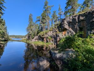
photo lunar
8/2/2024, 48.14197/-91.09885
south landing
8/2/2024, 48.14961/-91.11319
tent site
8/2/2024, 48.15668/-91.11746

tent spots
8/2/2024, 48.14184/-91.08445
trail
8/2/2024, 48.14211/-91.08709
trail so to speak
8/2/2024, 48.14216/-91.09724

trail to hanson
8/2/2024, 48.14208/-91.0848
view
8/2/2024, 48.14184/-91.08445
View of swamp from cherry side
8/2/2024, 48.14188/-91.09712
View of swamp from lunar side
8/2/2024, 48.14216/-91.09733
camp
8/3/2024, 48.12041/-91.09821
fire pit
8/3/2024, 48.12041/-91.09821
Hanson landing
8/3/2024, 48.12856/-91.09106
pic
8/3/2024, 48.12041/-91.09821
pond
8/3/2024, 48.1277/-91.09194
rootball
8/3/2024, 48.12764/-91.09201
SAK landing view
8/3/2024, 48.1241/-91.09031
sunrise
8/3/2024, 48.14184/-91.08445
view
8/3/2024, 48.12041/-91.09821
view from water
8/3/2024, 48.12041/-91.09821
view2
8/3/2024, 48.12041/-91.09821
waterfall
8/3/2024, 48.12555/-91.09089
Agamok landing
8/5/2024, 48.06921/-91.02957
camp from lake
8/5/2024, 48.07147/-91.04441
camp landing
8/5/2024, 48.06912/-91.03136
Fake campsite but nice for picnics
8/5/2024, 48.07484/-91.05031
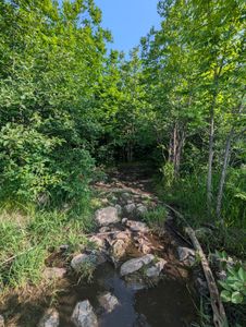
fallen log
8/5/2024, 48.0909/-91.10707
falls
8/5/2024, 48.07844/-91.04922
fire grate
8/5/2024, 48.07864/-91.0511
Jenny landing
8/5/2024, 48.09089/-91.10707
SAK landing
8/5/2024, 48.09678/-91.12022
small site
8/5/2024, 48.06993/-91.03757
tent spot
8/5/2024, 48.07864/-91.0511
trail
8/5/2024, 48.09113/-91.1072


